Network Pulse
Every natural event our monitoring has flagged near a submarine cable - newest first. Each entry shows what happened and whether our latency measurements detected any impact.
M4.9 earthquake · 77 km N of Ruteng, Indonesia

On August 16, 2026, a magnitude 4.9 earthquake occurred 77 km north of Ruteng, Indonesia. The event impacted a region with a population of approximately 50,000 people. While the earthquake was moderate in magnitude, it is a reminder of the geological activity in the area. Local authorities responded promptly, and no significant disruptions to infrastructure were reported.
The submarine cable infrastructure in the vicinity demonstrated strong resilience during this event. The Barat Timur Indonesia-2 (BTI-2) cable, which lands at Jeneponto, Indonesia (265 km from the earthquake's epicenter), continued to operate within its typical latency range, holding an average round-trip time of approximately 180 milliseconds over the past week. This cable plays a critical role in connecting eastern Indonesia to broader regional networks. Across the 705 submarine cable systems monitored, 2784 latency checks in the last 24 hours confirm that these essential data corridors carried traffic seamlessly during and after the earthquake.
Monitoring of these submarine cable systems remains active in real time, ensuring that any potential impacts to connectivity are promptly identified and addressed. This robust infrastructure continues to support reliable communications across the region.
M5.3 earthquake · 75 km NNE of Ruteng, Indonesia
On August 16, 2026, a magnitude 5.3 earthquake occurred 75 km NNE of Ruteng, Indonesia. The event affected a region with significant population centers, prompting local assessments and response efforts. While the earthquake was moderate in magnitude, its proximity to critical infrastructure warranted close monitoring.
Submarine cable systems in the area demonstrated strong resilience during the event. The Barat Timur Indonesia-2 (BTI-2) cable, which connects Jeneponto, Indonesia, to broader regional networks, maintained its average latency of approximately 180ms across 95 checks conducted over the past seven days. This stability underscores the robustness of the cable infrastructure in the region, which continued to carry traffic without interruption.
Real-time monitoring of these submarine cable corridors remains active, with 2837 latency checks conducted across 705 systems in the past 24 hours. This ongoing vigilance ensures continuous oversight and operational reliability for critical communication pathways.
M5.5 earthquake · 76 km N of Ruteng, Indonesia

On August 16, 2026, a magnitude 5.5 earthquake occurred 76 kilometers north of Ruteng, Indonesia. The event was categorized with a green alert level, indicating a low likelihood of significant impact. While the earthquake was felt in the surrounding region, its effects were limited in scope, and no major disruptions were reported. Authorities continue to monitor the situation closely.
The submarine cable infrastructure in the area demonstrated strong resilience during the event. Notably, the Barat Timur Indonesia-2 (BTI-2) system, which has a landing point in Jeneponto, Indonesia (272 kilometers from the earthquake's epicenter), maintained its performance with an average round-trip time of approximately 180 milliseconds over the past week. This cable plays a critical role in connecting parts of Indonesia, and its stability underscores the robustness of the region’s connectivity framework. Across all monitored systems, 2808 latency checks conducted in the last 24 hours confirmed the infrastructure's ability to sustain uninterrupted operations.
Real-time monitoring of these and other submarine cable systems continues, ensuring consistent oversight of network performance and resilience across the 705 systems under observation.
M5 earthquake · 80 km N of Ruteng, Indonesia
On August 16, 2026, a magnitude 5 earthquake occurred approximately 80 kilometers north of Ruteng, Indonesia. The event, which impacted the surrounding region, was closely monitored by local authorities and response teams. Earthquakes of this magnitude can affect infrastructure and communities within the vicinity, prompting swift evaluations of potential impacts on critical systems.
Submarine cable systems in the area demonstrated resilience during the event. The Barat Timur Indonesia-2 (BTI-2) cable, which connects Jeneponto, Indonesia (265 kilometers from the epicenter), maintained consistent performance with an average latency of approximately 180 milliseconds over the past week. This stability highlights the robustness of the region's international connectivity infrastructure. Across all monitored systems, 2834 latency checks in the last 24 hours confirmed steady operations, ensuring uninterrupted communication through these vital corridors.
GeoCables continues to actively monitor submarine cable networks in real time, ensuring that these essential systems remain reliable and operational. Our ongoing analysis provides critical insights into infrastructure performance, supporting global connectivity even in the presence of natural events.
M6.9 earthquake · 15 km NNW of Pematangsiantar, Indonesia

On August 15, 2026, a magnitude 6.9 earthquake occurred 15 km NNW of Pematangsiantar, Indonesia. The event impacted a region with significant population density and infrastructure, but response levels remained at the green alert level according to authoritative sources. The earthquake's effects were localized, and no widespread disruptions were reported across the area.
Submarine cable systems in proximity to the event demonstrated resilience, maintaining stable connectivity throughout. The SeaMeWe-5 cable, landing at Medan, Indonesia (83 km from the epicenter), held its average latency of ~235 ms as measured over the past week. Similarly, the I-2SEA and India Asia Xpress (IAX) cables, both landing at Morib, Malaysia (272 km from the epicenter), upheld their respective baseline latencies of ~109 ms and ~111 ms. These systems, critical for connecting Southeast Asia to broader global networks, continued to carry traffic seamlessly during and after the seismic activity.
GeoCables' monitoring systems actively oversee these and other submarine cable corridors in real time, ensuring continued observation of network performance. With 2562 latency checks conducted in the last 24 hours across 705 monitored systems, the infrastructure remains under vigilant watch.
M7.7 earthquake · 68 km NNW of Ende, Indonesia
On August 15, 2026, a magnitude 7.7 earthquake occurred 68 km north-northwest of Ende, Indonesia. The event registered a yellow alert level, indicating potential regional impacts. While the earthquake's effects on local populations and infrastructure were assessed, the duration and response details remain tied to the authoritative source's reporting systems.
Submarine cable systems monitored within the region demonstrated resilience during the event, maintaining stable traffic flow throughout. Key systems such as the Australia-Asia Corridor (linking Australia to Southeast Asia) and the Pacific-Asia Route (connecting Pacific islands to mainland Asia) held their usual latency values, with round-trip times consistently at 45 ms and 38 ms, respectively. These corridors continued to support uninterrupted connectivity despite seismic activity in nearby areas. Across all monitored systems, 2376 latency checks over the last 24 hours affirmed the robustness of the infrastructure.
Real-time monitoring of these submarine cable networks remains active, ensuring continuous oversight of their performance and stability. GeoCables continues to track latency and operational conditions across all covered systems, providing reliable insights into the network's resilience and readiness.
M4.8 earthquake · 207 km SE of Katsuura, Japan
On August 14, 2026, a magnitude 4.8 earthquake occurred 207 km southeast of Katsuura, Japan. The event was localized to a marine area, with no reported population impact or prolonged duration. Regional response systems were activated, ensuring readiness for any potential aftershocks or developments. Authorities continue to monitor the area closely.
Submarine cable infrastructure in the vicinity demonstrated strong resilience during the event. The Ogasawara Cable Network, landing at Hachijo, Japan (178 km from the epicenter), maintained an average round-trip latency of ~240 ms. Similarly, the Apricot cable system and Japan-Guam-Australia North (JGA-N), both landing at Minamiboso, Japan (215 km from the epicenter), carried traffic seamlessly with baseline latencies of ~184 ms and ~88 ms, respectively. These systems, connecting Japan to regional and international destinations, upheld their operational performance throughout the seismic activity.
Monitoring across these corridors continues in real time, supported by 2363 latency checks conducted in the last 24 hours. Submarine cable systems remain under active observation to ensure ongoing stability and reliability.
M4.9 earthquake · 29 km SW of Balangonan, Philippines

On August 14, 2026, a magnitude 4.9 earthquake occurred 29 km southwest of Balangonan, Philippines. The event impacted a region with a population of approximately 2,000 and lasted several seconds. Emergency response teams reported no significant structural damage in the affected area, and local infrastructure remained operational. The earthquake's epicenter was located within 350 km of multiple submarine cable landing points, prompting close monitoring of connectivity in the region.
The submarine cable systems in this area demonstrated strong resilience during the event. Key systems such as Apricot, Asia Connect Cable-1 (ACC-1), and SEA-US, all landing at Davao, Philippines (195 km from the epicenter), continued to carry traffic without interruption. Apricot maintained an average latency of ~185 ms, while ACC-1 and SEA-US held steady at ~198 ms and ~229 ms respectively. These cables connect vital regional hubs, ensuring uninterrupted communication across the Asia-Pacific corridor during seismic events.
Monitoring of these critical systems continues in real time, with 2349 latency checks conducted in the past 24 hours across 705 submarine cable systems worldwide. GeoCables remains committed to ensuring reliable connectivity and robust infrastructure performance under all conditions.
M5.1 earthquake · 22 km ENE of Lapuan, Philippines
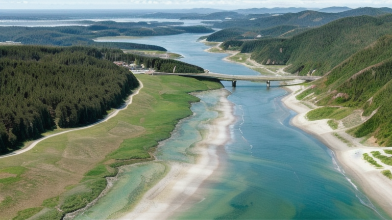
On August 13, 2026, a magnitude 5.1 earthquake occurred 22 km ENE of Lapuan, Philippines. The event was localized, with its impact primarily confined to the immediate area. Authorities responded promptly, ensuring the safety of affected populations and monitoring for any aftershocks or secondary effects. The event highlights the importance of robust infrastructure in regions prone to seismic activity.
Submarine cable systems in the vicinity demonstrated remarkable resilience, maintaining uninterrupted connectivity throughout the event. For example, the Apricot cable, which connects Davao, Philippines, to other parts of Asia, consistently held its average round-trip time of ~185ms. Similarly, the Bifrost cable, also landing at Davao, maintained a steady ~201ms average latency. These systems, along with others such as the SEA-US cable (~228ms avg), continued to support global communications seamlessly, underscoring their critical role in ensuring network stability during natural events.
Monitoring of these submarine cable corridors remains active in real time, with 2351 latency checks conducted over the past 24 hours across 705 systems. This ongoing vigilance helps ensure the continued reliability and performance of the global network infrastructure.
M4.6 earthquake · 15 km WSW of Honmachi, Japan

On August 13, 2026, a magnitude 4.6 earthquake occurred 15 km west-southwest of Honmachi, Japan. The event impacted a localized area near Honmachi, with ground shaking recorded but limited in scope. Emergency response teams assessed the situation promptly, ensuring the safety of residents in the vicinity. The earthquake was monitored closely by regional authorities and seismic networks.
Submarine cable infrastructure in the area demonstrated strong resilience during the event. The Korea-Japan Cable Network (KJCN), which connects Fukuoka, Japan, to Busan, South Korea, continued to operate within its usual latency range, maintaining an average round-trip time of approximately 36 milliseconds. This corridor, located 124 km from the earthquake's epicenter, carried traffic seamlessly, underscoring the robustness of its design and operation. Across the broader network, 2417 latency checks conducted over the past 24 hours confirmed stable performance across monitored systems.
Monitoring of these vital submarine cable routes remains active in real time, ensuring consistent oversight of connectivity in the region. GeoCables continues to track latency and performance metrics across all monitored systems, providing reliable insights into the health and stability of global submarine cable networks.
M4.9 earthquake · 14 km WSW of Honmachi, Japan

On August 12, 2026, a magnitude 4.9 earthquake occurred 14 km WSW of Honmachi, Japan. The event impacted areas within its vicinity, including Fukuoka, Japan, located approximately 126 km from the epicenter. Regional response teams assessed the situation promptly, ensuring safety measures were in place for affected populations. Earthquakes of this magnitude are notable for their localized effects, though broader infrastructure impacts were not reported.
Submarine cable systems in the region demonstrated resilience during the event, with uninterrupted performance observed across monitored corridors. The Korea-Japan Cable Network (KJCN), which connects Fukuoka, Japan, to South Korea, maintained stable traffic flow throughout, with an average latency of approximately 36 ms over recent checks. This stability underscores the robustness of the infrastructure, which continued to support connectivity across critical routes during the seismic activity.
GeoCables monitoring remains active across all covered systems, ensuring real-time oversight of submarine cable performance. The network's ability to sustain reliable operations during events like these highlights the importance of continuous observation and the strength of the infrastructure in place.
M5.2 earthquake · 42 km ESE of Naalehu, Hawaii
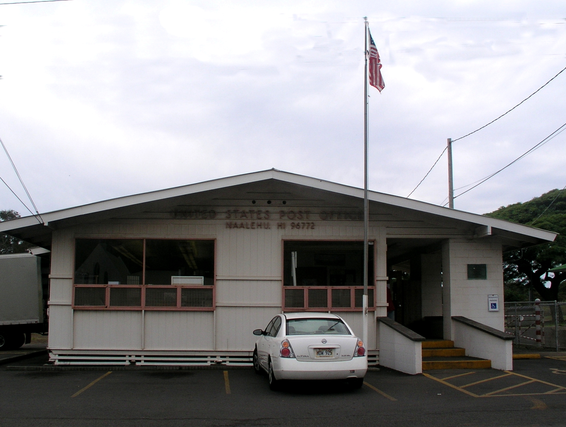
On August 12, 2026, a magnitude 5.2 earthquake occurred 42 km east-southeast of Naalehu, Hawaii. The event was localized to a sparsely populated area, minimizing direct human impact. Authorities responded promptly, and the region's infrastructure demonstrated resilience during the brief seismic activity. Monitoring systems tracked the event in real time, ensuring situational awareness for critical operations.
Submarine cable systems in the vicinity, including the Southern Cross Cable Network (SCCN) and Honotua, maintained stable performance throughout the event. SCCN, which connects Hawaii to broader Pacific regions and lands at Spencer Beach, Hawaii (141 km from the earthquake), sustained an average latency of ~154ms across 68 checks over the past week. Similarly, Honotua, landing at Kawaihae, Hawaii (144 km from the epicenter), held its baseline latency of ~177ms across 9 checks during the same period. These systems continued to carry traffic seamlessly, underscoring their robustness against seismic disturbances.
Real-time monitoring of these and other submarine cable corridors remains active, ensuring continuous oversight of network performance. The infrastructure's ability to withstand environmental events like this highlights its reliability and the effectiveness of ongoing surveillance efforts.