Network Pulse
Every natural event our monitoring has flagged near a submarine cable - newest first. Each entry shows what happened and whether our latency measurements detected any impact.
M6 earthquake · 33 km SSW of Honchō, Japan
On August 23, 2026, a magnitude 6.0 earthquake occurred 33 km south-southwest of Honchō, Japan. The event was monitored with a green alert level, indicating limited impact on the surrounding population and infrastructure. Local authorities and monitoring systems responded promptly, ensuring public safety and situational awareness in the affected region.
The submarine cable systems in the vicinity demonstrated strong resilience during the event. The Hokkaido-Sakhalin Cable System (HSCS), which connects Ishikari, Japan, to Sakhalin, maintained its usual average latency of approximately 57 milliseconds. Similarly, the E2A cable, with a landing point in Tomakomai, Japan, continued to carry traffic seamlessly, holding its baseline latency of about 233 milliseconds. These systems, critical for regional and international connectivity, operated without disruption, underscoring their robust design and performance under geophysical stress.
Monitoring of these and other submarine cable corridors remains active, with 1834 latency checks conducted over the past 24 hours across 705 systems. Our systems continue to provide real-time oversight, ensuring the stability and reliability of global communications infrastructure.
M5.8 earthquake · 4 km N of Toride, Japan
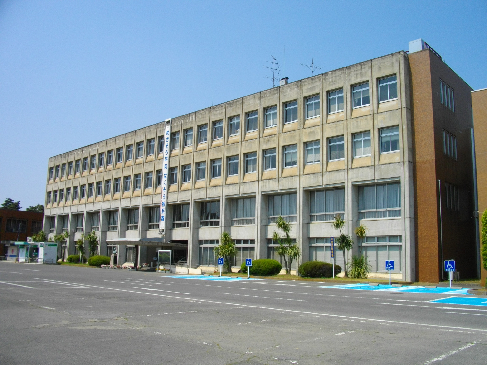
On August 22, 2026, a magnitude 5.8 earthquake occurred 4 kilometers north of Toride, Japan. The event, classified at a green alert level, affected the surrounding area but did not lead to significant disruptions. Local response teams were prepared, and the region's infrastructure demonstrated resilience during the brief duration of seismic activity.
The submarine cable systems in proximity to the event continued to perform reliably, maintaining stable connectivity throughout. EAC-C2C and Pacific Crossing-1, both landing at Ajigaura, Japan (69 km from the epicenter), sustained their average round-trip latencies of approximately 152 ms and 159 ms, respectively. Asia Direct Cable, landing at Maruyama, Japan (104 km away), also held steady at an average of 143 ms. These systems, which connect Japan to other parts of Asia and the Pacific, demonstrated their robustness under monitored conditions.
Real-time monitoring of these corridors remains active, ensuring ongoing oversight of the region's submarine cable infrastructure. Our systems continue to perform latency checks across all monitored cables, reinforcing confidence in the network's stability and resilience.
M4.6 earthquake · 76 km SSW of San Jose Village, Northern Mariana Islands
On August 22, 2026, a magnitude 4.6 earthquake occurred 76 kilometers south-southwest of San Jose Village in the Northern Mariana Islands. The event was localized in a sparsely populated area, minimizing direct impact on human populations. Authorities have not reported significant disruptions or damages, and response efforts remain on standby as assessments continue.
The submarine cable systems in the region demonstrated strong resilience during the seismic event. The Mariana-Guam Cable, connecting Rota in the Northern Mariana Islands to Guam, maintained its typical latency of approximately 9 milliseconds. Similarly, the Atisa cable, which also lands in the Northern Mariana Islands at Sasanlagu, sustained its average latency of around 9 milliseconds. The Asia-America Gateway (AAG) Cable System, which links Guam to broader trans-Pacific routes, upheld its baseline latency of approximately 212 milliseconds. These systems, along with others in the area, continued to carry traffic without disruption, showcasing the robustness of the region's undersea communication infrastructure.
Monitoring of these critical cable corridors remains active, with 2124 latency checks conducted across 705 submarine cable systems in the past 24 hours. Real-time surveillance ensures that any potential impacts are promptly identified and addressed, supporting the stability of global connectivity.
M5.2 earthquake · 38 km NNE of Ruteng, Indonesia
On August 22, 2026, a magnitude 5.2 earthquake occurred 38 kilometers north-northeast of Ruteng, Indonesia. The event was centered in a region with a dispersed population and moderate seismic activity. Emergency response teams in the area were promptly mobilized to assess and address any local impacts. The earthquake's effects were localized, with no widespread disruptions reported in the surrounding areas.
Despite the proximity of the earthquake to key submarine cable infrastructure, the systems in the region demonstrated strong resilience. The Indonesia Tengah Cable Systems, landing at Labuhan Bajo (79 kilometers from the epicenter), maintained an average latency of approximately 180 milliseconds. Similarly, the Palapa Ring East, connecting Waingapu (156 kilometers from the epicenter), also held steady at ~180 milliseconds. The Barat Timur Indonesia-2 (BTI-2), with a landing point in Jeneponto (307 kilometers from the event), sustained its typical latency of ~177 milliseconds. These systems continued to carry traffic seamlessly, underscoring the robustness of the region's submarine cable network.
Monitoring of these and other submarine cable corridors remains active and ongoing, ensuring real-time observation of network performance and resilience across all 705 systems under surveillance.
M4.9 earthquake · 93 km N of Ruteng, Indonesia
On August 21, 2026, a magnitude 4.9 earthquake occurred 93 km north of Ruteng, Indonesia. The event, centered in a region known for its tectonic activity, was closely monitored for any potential impacts on nearby infrastructure. Local communities in the vicinity experienced the tremor, though further details on its effects remain limited at this time.
The submarine cable systems in the region demonstrated robust performance during and after the event. The Indonesia Tengah Cable Systems, landing at Labuhan Bajo (102 km from the earthquake's epicenter), maintained its typical latency of approximately 180ms. Similarly, the Palapa Ring East cable, connecting Waingapu (210 km from the event), and the Barat Timur Indonesia-2 (BTI-2) system, landing at Jeneponto (250 km away), also sustained their usual latency levels of ~180ms and ~181ms, respectively. These systems, critical for regional and international connectivity, continued to carry traffic seamlessly during the seismic activity.
GeoCables' monitoring systems remain actively engaged, with 2,386 latency checks conducted across 705 submarine cable systems in the last 24 hours. Real-time oversight ensures that any changes in network performance are promptly identified and addressed, supporting the resilience of global connectivity infrastructure.
M5.4 earthquake · 148 km SSE of Tateyama, Japan
On August 21, 2026, a magnitude 5.4 earthquake occurred 148 km SSE of Tateyama, Japan. The event was classified at a green alert level, indicating low impact on the affected region. While the earthquake was felt locally, its effects were limited, and no significant disruptions were reported in the surrounding area. Monitoring systems noted the event, and response mechanisms remained on standby as a precaution.
The submarine cable infrastructure in the region demonstrated strong resilience during the earthquake. Key systems such as the Japan-Guam-Australia North (JGA-N) cable, which connects Minamiboso, Japan to international destinations, maintained stable latency at an average of ~62ms. Similarly, the Apricot cable, landing at Minamiboso and linking Japan with other parts of Asia, held its baseline latency of ~180ms. The Izu Islands Cable System, serving Hachijo, Japan, also continued to operate within its typical ~231ms range. These systems successfully supported uninterrupted data traffic, underscoring the robustness of the network.
Real-time monitoring of these and other submarine cable corridors continues, with 2522 latency checks conducted in the past 24 hours. The infrastructure remains under active observation to ensure ongoing stability and performance.
M4.9 earthquake · 88 km N of Ruteng, Indonesia
On August 21, 2026, a magnitude 4.9 earthquake occurred 88 km north of Ruteng, Indonesia. The event affected a sparsely populated area and lasted briefly, with no reports of significant damage or disruption to local infrastructure. Emergency response teams monitored the region closely, ensuring preparedness and safety measures were in place for nearby communities.
Submarine cable systems in the vicinity demonstrated their resilience during the event. The Indonesia Tengah Cable Systems, landing at Labuhan Bajo (102 km from the epicenter), maintained stable performance with an average latency of ~180ms. Similarly, Palapa Ring East, connecting Waingapu (206 km from the epicenter), held steady at ~180ms. The Barat Timur Indonesia-2 (BTI-2) cable, landing at Jeneponto (257 km from the epicenter), also remained robust, with an average latency of ~177ms across its monitored corridor. These systems, vital for regional connectivity, continued to carry traffic seamlessly throughout the earthquake.
Real-time monitoring of these cable systems and their corridors remains active. With 2558 latency checks conducted in the last 24 hours across 705 submarine cable systems, the network continues to demonstrate stability and reliability under constant observation.
M4.7 earthquake · 6 km W of Onna, Japan
On August 21, 2026, a magnitude 4.7 earthquake occurred 6 km west of Onna, Japan. The event impacted areas within Okinawa Prefecture, with localized shaking reported. Emergency response teams were deployed promptly, and no widespread disruptions to critical infrastructure or services were reported in the affected region.
Submarine cable systems in the vicinity demonstrated robust resilience during the event. The Guam Okinawa Kyushu Incheon (GOKI) cable, which connects Naha, Japan, to other key locations in the region, maintained its average latency of approximately 101 ms across 13 checks over the past week. Similarly, the Japan Information Highway (JIH), also landing at Naha, continued to operate at an average latency of 236 ms across three checks during the same period. These systems carried traffic seamlessly, underscoring the reliability of the infrastructure in the face of seismic activity.
Real-time monitoring of these and other submarine cables remains active, ensuring continuous oversight of network performance. The stability of these corridors highlights the resilience of the infrastructure and the effectiveness of ongoing monitoring efforts.
M5.6 earthquake · 67 km NNW of Ende, Indonesia
On August 20, 2026, a magnitude 5.6 earthquake occurred 67 km north-northwest of Ende, Indonesia. The event was categorized at a green alert level, indicating low expected impact on the surrounding population and infrastructure. While the tremor was felt in the region, its effects were limited, and no significant disruptions were reported in the immediate aftermath.
Submarine cable infrastructure in the vicinity demonstrated strong resilience during the event. The Indonesia Tengah Cable Systems, landing at Labuhan Bajo (169 km from the epicenter), and Palapa Ring East, landing at Waingapu (197 km away), maintained their expected performance, with average latency holding steady at approximately 180 ms. Similarly, the Palapa Ring Middle, which connects to Baubau (336 km from the epicenter), continued to operate within its usual parameters. These systems, critical for connectivity across the region, successfully carried traffic without interruption.
Monitoring of these and other submarine cable systems remains active, with 2733 latency checks performed over the past 24 hours to ensure the continued stability of global communications. Real-time observation of this infrastructure supports its ongoing reliability and performance.
M5.3 earthquake · 48 km NNE of Ruteng, Indonesia
On August 20, 2026, a magnitude 5.3 earthquake occurred 48 km north-northeast of Ruteng, Indonesia. The event was centered in a region with a population density that could experience moderate effects, though its overall impact on infrastructure and communities remains under review. Authorities and monitoring systems responded promptly to assess the situation.
Submarine cable systems in the vicinity demonstrated resilience during the event. The Indonesia Tengah Cable Systems, with a landing point in Labuhan Bajo (92 km from the epicenter), maintained its typical latency of approximately 180 ms. Similarly, the Palapa Ring East system, connecting Waingapu (165 km from the epicenter), and the Barat Timur Indonesia-2 (BTI-2) system, landing at Jeneponto (305 km from the epicenter), continued to operate within their usual latency ranges of 180 ms and 181 ms, respectively. These systems, vital for regional and international connectivity, carried traffic seamlessly during the seismic activity.
Our monitoring infrastructure conducted 2,770 latency checks across 705 submarine cable systems over the past 24 hours, ensuring comprehensive oversight. Real-time monitoring of these and other submarine cable corridors remains active, providing continuous assessment of network performance and stability.
M5.7 earthquake · 32 km NNE of Ruteng, Indonesia
On August 20, 2026, a magnitude 5.7 earthquake occurred 32 km NNE of Ruteng, Indonesia. The event was categorized at a green alert level, indicating minimal expected impact to the surrounding population and infrastructure. While the earthquake was felt in the region, no significant disruptions were reported, and local systems remained operational.
Submarine cable systems in the vicinity demonstrated resilience during the event. The Indonesia Tengah Cable Systems, landing at Labuhan Bajo (82 km from the epicenter), and Palapa Ring East, landing at Waingapu (148 km away), maintained their average latencies of approximately 180 ms. Similarly, Barat Timur Indonesia-2 (BTI-2), which lands at Jeneponto (317 km from the event), held steady at an average of 181 ms. These cables, critical for connecting Indonesian islands and supporting regional communication, continued to carry traffic without interruption, underscoring the robustness of the infrastructure.
Monitoring of these cable systems and their corridors remains active in real time, with 2740 latency checks conducted across 705 submarine cable systems in the last 24 hours. This continuous oversight ensures that any potential impacts are promptly identified and addressed.
M5.8 earthquake · 25 km NNE of Ruteng, Indonesia
On August 20, 2026, a magnitude 5.8 earthquake occurred 25 km NNE of Ruteng, Indonesia. The event affected a region with a significant population and infrastructure, though detailed impact assessments are still ongoing. Local and regional response teams have been mobilized to address any immediate needs and assess potential damage in the area.
Despite the earthquake's proximity to key submarine cable infrastructure, systems in the region demonstrated strong resilience. The Indonesia Tengah Cable Systems, with a landing point at Labuhan Bajo (72 km from the epicenter), maintained an average latency of ~180ms. Similarly, the Palapa Ring East, landing at Waingapu (143 km from the epicenter), and Barat Timur Indonesia-2 (BTI-2), landing at Jeneponto (318 km away), also sustained their usual performance, with average latencies of ~180ms and ~181ms, respectively. These cables play a critical role in connecting Indonesia's islands and facilitating regional communication.
Our monitoring continues in real time across these and other submarine cable systems, ensuring that any changes in performance are promptly identified. The stability of these vital communication corridors highlights the robustness of the infrastructure in the face of natural events.