Waingapu, Indonesia
Landing Point · ID Indonesia
Connected Cables
| Cable | Status |
|---|---|
| Denpasar-Waingapu Cable Systems | Active |
| Mataram Kupang Cable System (MKCS) | Active |
| Palapa Ring East | Active |
Live Performance
RTT measurements to this landing point from 2026-03-25 through 2026-09-06 - live ICMP round-trip time via our monitoring probes. Recomputed daily.
Measurement sources
| Probe | Location | Samples | Avg |
|---|---|---|---|
| #6427 own probe | Sydney AU | 70 | 218.6 ms |
| #6410 own probe | Sao Paulo BR | 65 | 386.7 ms |
| #6487 own probe | Singapore SG | 33 | 35.7 ms |
| #1014473 own probe | Minsk BY | 22 | 267.8 ms |
| #7062 own probe | Cape Town ZA | 20 | 343.6 ms |
| #1014969 own probe | Jerusalem IL | 19 | 277.7 ms |
| #1014589 own probe | Almaty KZ | 17 | 296.9 ms |
| #1015523 own probe | Moscow RU | 17 | 223.2 ms |
| #1015893 own probe | Rostov RU | 16 | 244.6 ms |
| #1015932 own probe | Odessa UA | 15 | 258.5 ms |
| #1015984 own probe | Balancer IL | 15 | 301.5 ms |
| #1016031 own probe | Kyiv UA | 15 | 222.0 ms |
| #1014597 own probe | Tbilisi GE | 9 | 254.5 ms |
| #61791 | control probe | 1 | 24.5 ms |
| #1010039 | control probe | 1 | 29.2 ms |
| #1015313 own probe | Sevastopol UA | 1 | 229.1 ms |
About Waingapu, Indonesia
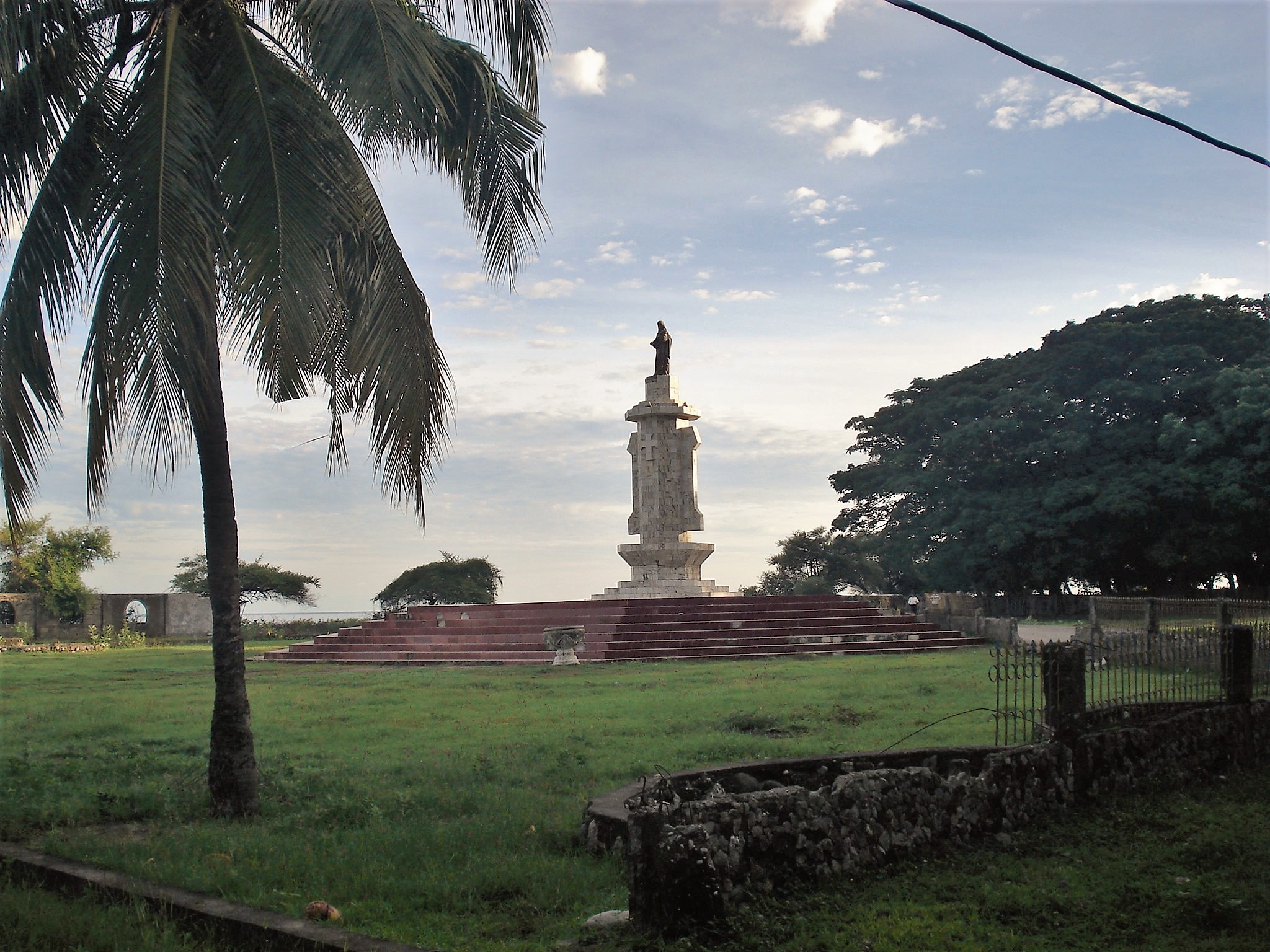
Waingapu: Submarine Cable Landing Point
Waingapu is the largest town in the eastern half of Sumba island, situated in East Nusa Tenggara province, Indonesia. As the capital of East Sumba Regency, it sits within the arc of eastern Indonesian islands and serves as a submarine cable landing point connecting Sumba to the broader Indonesian domestic cable network. Three submarine cables make landfall at Waingapu, each linking the town exclusively to other points within Indonesia, establishing it as a node in the country's intra-archipelago connectivity framework.
All three cables landing at Waingapu are domestic Indonesian systems, reflecting the town's role in extending national connectivity across the eastern island chains of the archipelago. The longest of these, the Palapa Ring East cable, spans 6,300 km and forms part of Indonesia's nationally significant ring infrastructure. Together, the three cables position Waingapu as a meaningful junction point within the eastern segment of Indonesia's inter-island submarine cable fabric.
Cables Landing at Waingapu
Palapa Ring East is a 6,300 km submarine cable system that reached ready-for-service status in 2019. It connects landing points exclusively within Indonesia, forming the eastern arc of the Palapa Ring, Indonesia's national broadband ring project. Waingapu is one of the cable's domestic endpoints along this extended eastern corridor.
Mataram Kupang Cable System (MKCS) is a 1,318 km submarine cable that became ready for service in 2011. It links multiple landing points within Indonesia, running through the Lesser Sunda Islands region and connecting Waingapu to other domestic locations along its route.
Denpasar-Waingapu Cable Systems (DWCS) is an 814 km submarine cable that reached ready-for-service status in 2019. As its name indicates, the cable directly connects Waingapu to Denpasar, Bali, along with other domestic Indonesian landing points, providing a relatively direct westward link for Sumba island.
Regional Context
Within Indonesia's submarine cable landscape — which spans 70 cables across 139 landing points — Waingapu, with its three cables, ranks within the top 93% of Indonesian landing points by cable count. Major Indonesian hubs such as Batam (20 cables), Jakarta (9 cables), and Manado (8 cables) host substantially more cable infrastructure, reflecting their roles as international and major inter-island gateways. Waingapu operates at a more localised scale, serving the connectivity requirements of Sumba island and its surrounding region.
Network Role
Waingapu functions as a multi-cable domestic hub, aggregating three Indonesian intra-archipelago cable systems on the island of Sumba. The combination of the long-haul Palapa Ring East, the mid-length MKCS, and the shorter Denpasar-Waingapu Cable Systems gives the town connections running both westward toward Bali and Lombok and eastward through the broader national ring structure. This layering of routes provides Sumba with more than a single point of access into Indonesia's domestic submarine cable network.
In the wider Indonesian submarine cable graph, Waingapu represents the kind of secondary landing point that extends national ring connectivity into island communities that would otherwise sit at the periphery of the archipelago's network. Its presence as a three-cable terminus on Sumba island illustrates how Indonesia's domestic cable programme has reached into the eastern Lesser Sunda Islands to serve regional connectivity needs.
What next: Waingapu, Indonesia in the global directory of cable landing points; see surrounding routes on the interactive submarine cable map or follow live network monitoring.
Other Landing Points in Indonesia
FAQ
Landing Point
- CountryID Indonesia
- Coordinates9.6462°S 120.2530°E
- Connected Cables3
See Real Cable Routes
View actual submarine cable routing from Waingapu, Indonesia - with backbone nodes, distance calculations, and latency estimates
Open Calculator →