Ventotene, Italy
Landing Point · IT Italy
Connected Cables
| Cable | Status |
|---|---|
| Piano Isole Minori | Active |
Live Performance
RTT measurements to this landing point from 2026-03-09 through 2026-09-03 - live ICMP round-trip time via our monitoring probes. Recomputed daily. ✓ No anomalies detected in the monitored period.
Measurement sources
| Probe | Location | Samples | Avg |
|---|---|---|---|
| #1014473 own probe | Minsk BY | 4 | 232.2 ms |
| #6427 own probe | Sydney AU | 3 | 582.3 ms |
| #1015932 own probe | Odessa UA | 3 | 1113.5 ms |
| #1016031 own probe | Kyiv UA | 3 | 430.8 ms |
| #6487 own probe | Singapore SG | 2 | 171.0 ms |
| #6410 own probe | Sao Paulo BR | 1 | 3262.3 ms |
| #1014589 own probe | Almaty KZ | 1 | 133.6 ms |
| #1014597 own probe | Tbilisi GE | 1 | 76.9 ms |
| #1015984 own probe | Balancer IL | 1 | 87.5 ms |
About Ventotene, Italy
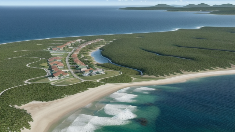
Ventotene: Submarine Cable Landing Point
Ventotene is a small island in the Pontine Islands group, situated in the Tyrrhenian Sea approximately 46 kilometres off the coast of Gaeta, at the boundary between the Lazio and Campania regions of Italy. As an island location, its submarine cable connectivity is not merely a matter of telecommunications preference but a direct consequence of its geography. One submarine cable currently lands at Ventotene, connecting this island community to Italy's broader cable network.
The single cable serving Ventotene is the Piano Isole Minori, a domestic Italian system with a total length of 830 kilometres. Its name — which translates broadly to "Minor Islands Plan" — reflects its function as an intra-national cable linking Italian minor islands to the mainland. Given that both endpoints of this cable fall within Italy, the corridor it enables is entirely domestic, providing inter-island and island-to-mainland connectivity rather than intercontinental or international links.
Cables Landing at Ventotene
Piano Isole Minori is an 830-kilometre submarine cable with a Ready for Service (RFS) date of 2024, currently listed at draft status. The cable connects landing points exclusively within Italy, making it a domestic network system designed to serve Italian minor island communities. Its length of 830 kilometres suggests it spans multiple island stops along its route rather than a single point-to-point connection. As the sole cable landing at Ventotene, Piano Isole Minori represents the island's entire submarine cable infrastructure.
Regional Context
Within Italy's submarine cable landscape — which encompasses 23 cables across 49 landing points — Ventotene ranks among the smaller nodes, hosting a single cable. Major Italian landing points such as Mazara del Vallo (8 cables), Genoa (6 cables), and Catania (3 cables) serve as far busier cable hubs. Ventotene's profile is more comparable to similarly single- or dual-cable landing points such as Bari, Civitavecchia, and Olbia, each of which hosts two cables.
Network Role
Ventotene functions as a single-cable terminus within Italy's submarine cable network, connected exclusively through the Piano Isole Minori system. Its role is specifically oriented toward domestic island connectivity rather than international or intercontinental routing. The cable's 2024 RFS date places it among Italy's more recently commissioned systems, extending structured submarine cable access to island communities that might otherwise rely on less direct means of connectivity.
In the regional submarine cable graph, Ventotene's significance lies in illustrating how Italy's cable infrastructure extends beyond its major coastal urban centres to serve smaller island municipalities, ensuring that even a community of several hundred permanent residents in the Tyrrhenian Sea is integrated into the country's cable network.
What next: Ventotene, Italy in the global directory of cable landing points; see surrounding routes on the interactive submarine cable map or follow live network monitoring.
Other Landing Points in Italy
Landing Point
- CountryIT Italy
- Coordinates40.7954°N 13.4282°E
- Connected Cables1
See Real Cable Routes
View actual submarine cable routing from Ventotene, Italy - with backbone nodes, distance calculations, and latency estimates
Open Calculator →