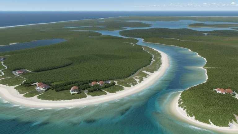
Tadine, New Caledonia
Landing Point · NC New Caledonia
Connected Cables
| Cable | Status |
|---|---|
| Gondwana-2/Picot-2 | Active |
📡 Live Performance
RTT measurements to this landing point from 2026-04-15 through 2026-07-10 - live ICMP round-trip time via our monitoring probes. Recomputed daily. ✓ No anomalies detected in the monitored period.
Measurement sources
| Probe | Location | Samples | Avg |
|---|---|---|---|
| #1014589 own probe | Almaty KZ | 7 | 5.1 ms |
| #6427 own probe | Sydney AU | 6 | 1.0 ms |
| #6487 own probe | Singapore SG | 6 | 1.0 ms |
| #1015932 own probe | Odessa UA | 6 | 0.8 ms |
| #1015984 own probe | Balancer IL | 5 | 56.1 ms |
| #1014969 own probe | Jerusalem IL | 2 | 3.7 ms |
| #1014473 own probe | Minsk BY | 1 | 2.4 ms |
| #1014597 own probe | Tbilisi GE | 1 | 25.6 ms |
| #1015313 own probe | Sevastopol UA | 1 | 1.4 ms |
About Tadine, New Caledonia
Tadine, New Caledonia: Submarine Cable Landing Point
Tadine is a submarine cable landing point located in New Caledonia, a French territory in the southwestern Pacific Ocean. As a coastal landing point, Tadine connects to the regional submarine cable network serving this island territory. One submarine cable lands at Tadine, linking it directly to Fiji and establishing a Pacific inter-island corridor between New Caledonia and one of the region's principal island nations.
The single cable serving Tadine is Gondwana-2/Picot-2, a relatively recent addition to New Caledonia's submarine cable infrastructure. With its 2022 ready-for-service date, it represents one of the newer connections in a national submarine cable network that has been developing since 2008. The corridor it enables between New Caledonia and Fiji spans a meaningful stretch of the South Pacific, supporting inter-island connectivity across a combined route of 1,515 kilometres.
Cables Landing at Tadine, New Caledonia
Gondwana-2/Picot-2 is the submarine cable landing at Tadine. The cable has a length of 1,515 kilometres and reached its ready-for-service date in 2022, though it carries a draft status. It connects New Caledonia and Fiji, running between these two Pacific island territories. Tadine serves as one of the New Caledonian landing points on this system, forming part of a South Pacific inter-island link that extends the territory's submarine cable reach toward Fiji.
Regional Context
New Caledonia's submarine cable network spans nine landing points in total, with Noumea standing as the territory's most connected node, hosting two cables. Tadine sits alongside several single-cable landing points within New Caledonia, including Mont-Dore, Mouly, Poindimie, Vao, and We, each of which also serves one cable. Within this national picture, Tadine represents one of the distributed coastal access points that extends submarine cable connectivity beyond the main urban centre of Noumea to other parts of the territory.
Network Role
Tadine functions as a single-cable terminus within New Caledonia's submarine cable infrastructure. Through its connection to Gondwana-2/Picot-2, the landing point anchors one end of a South Pacific inter-island link that reaches Fiji, extending New Caledonia's external submarine cable connections across the Pacific. As a 2022 system, it is among the most recently activated connections in the territory.
In the regional submarine cable graph, Tadine contributes to the broader distribution of landing points across New Caledonian territory, ensuring that connectivity is not concentrated solely at Noumea. Its role in the Fiji corridor adds a distinct bilateral Pacific link to New Caledonia's overall submarine cable profile, complementing the connections maintained by the territory's other coastal landing points.
What next: Tadine, New Caledonia in the global directory of cable landing points; see surrounding routes on the interactive submarine cable map or follow live network monitoring.
Other Landing Points in New Caledonia
Landing Point
- CountryNC New Caledonia
- Coordinates21.5481°S 167.8795°E
- Connected Cables1
See Real Cable Routes
View actual submarine cable routing from Tadine, New Caledonia - with backbone nodes, distance calculations, and latency estimates
Open Calculator →