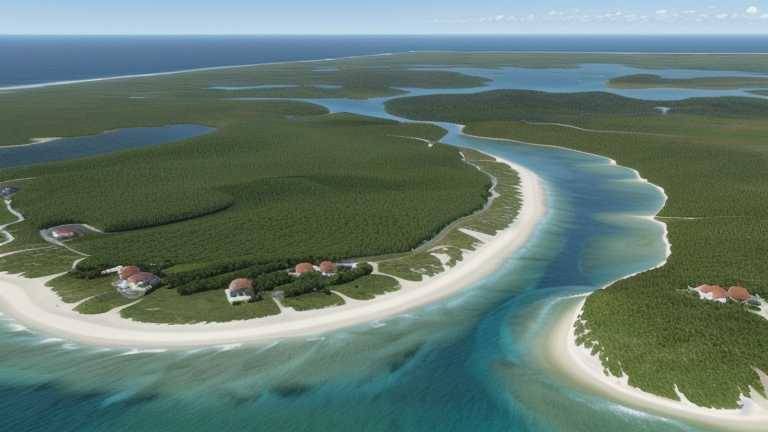
Mouly, New Caledonia
Landing Point · NC New Caledonia
1
Connected Cables
NC
Country
20.71°
Latitude
166.49°
Longitude
Ctrl + Scroll to zoom
Connected Cables
| Cable | Status |
|---|---|
| Picot-1 | Active |
📡 Live Performance
39
measurements
11
probes
98
days monitored
9.0
ms avg RTT
0
anomalies
RTT measurements to this landing point from 2026-03-15 through 2026-06-21 - live ICMP round-trip time via our monitoring probes. Recomputed daily. ✓ No anomalies detected in the monitored period.
Measurement sources
| Probe | Location | Samples | Avg |
|---|---|---|---|
| #1014473 own probe | Minsk BY | 7 | 2.2 ms |
| #1014589 own probe | Almaty KZ | 7 | 3.0 ms |
| #1014597 own probe | Tbilisi GE | 7 | 25.4 ms |
| #1014969 own probe | Jerusalem IL | 6 | 10.4 ms |
| #1015523 own probe | Moscow RU | 4 | 0.5 ms |
| #6427 own probe | Sydney AU | 2 | 0.9 ms |
| #1015313 own probe | Sevastopol UA | 2 | 1.5 ms |
| #6487 own probe | Singapore SG | 1 | 0.8 ms |
| #1015563 own probe | Saint Petersburg RU | 1 | 9.3 ms |
| #1015932 own probe | Odessa UA | 1 | 0.7 ms |
| #1015984 own probe | Balancer IL | 1 | 55.4 ms |
About Mouly, New Caledonia
Mouly: A Quiet Link in New Caledonia's Connectivity Chain
Mouly, a small landing point in New Caledonia, plays a modest but important role in the island's submarine cable network. Hosting a single cable, Picot-1, this location is part of a domestic chain connecting New Caledonia's communities. While it may not boast multiple cables like Noumea or We, Mouly's inclusion in the network ensures that even smaller and more remote parts of the country remain connected.Picot-1: Stitching New Caledonia Together
The Picot-1 cable, operational since 2008, is a purely domestic submarine cable. It links Mouly with two other landing points: Poindimie and Xepenehe. Together, these three locations form a chain that helps distribute connectivity across New Caledonia's diverse geography. Unlike some landing points in the country that host international cables, Mouly's connection is entirely local, serving as a node in a network designed to keep New Caledonia's communities interconnected. This domestic focus is a defining feature of Mouly's role in the network. While larger hubs like Noumea and We handle multiple cables, including those with international reach, Mouly's single cable reflects its position as a smaller, more localized link. Yet, this simplicity is its strength: it ensures that even areas outside the main urban centers have access to reliable connectivity.Latency: Speed That Stands Out
GeoCables' latency measurements reveal impressive performance for Mouly's connection. Across 39 completed checks from 11 source cities, the average round-trip latency is just 9 milliseconds, with the best observed latency an astonishing 0 milliseconds. This low latency underscores the efficiency of the Picot-1 cable and its ability to deliver fast and reliable connectivity to the region.Positioning Mouly in New Caledonia's Network
New Caledonia's submarine cable infrastructure includes four cables spread across nine landing points. Mouly, with its single cable, ranks in the top 78% of landing points by cable count. While it may not be as prominent as Noumea, which hosts two cables and serves as a major hub, or We, another dual-cable location, Mouly's role is essential for maintaining connectivity in less central areas of the country. Nearby landing points like Poindimie and Xepenehe share Mouly's single-cable status, forming a cohesive domestic chain. This interconnectedness ensures that even smaller communities are not left behind in the digital age.Conclusion
Mouly may not be a bustling hub of international connectivity, but its role in New Caledonia's submarine cable network is significant. As part of the Picot-1 chain, it helps stitch together the country's communities, ensuring that even remote areas benefit from reliable and fast connectivity. With low latency and a strategic position in the network, Mouly exemplifies how smaller landing points contribute to the broader infrastructure that keeps New Caledonia connected.What next: Mouly, New Caledonia in the global directory of cable landing points; see surrounding routes on the interactive submarine cable map or follow live network monitoring.
Other Landing Points in New Caledonia
NC Mont-Dore, New Caledonia
22.2654°S 166.5636°E
NC Noumea, New Caledonia
22.3033°S 166.4392°E
NC Poindimie, New Caledonia
20.9459°S 165.3416°E
NC Tadine, New Caledonia
21.5481°S 167.8795°E
NC Vao, New Caledonia
22.6719°S 167.4942°E
NC We, New Caledonia
20.9370°S 167.2605°E
NC Xepenehe, New Caledonia
20.7809°S 167.1513°E
NC Yate, New Caledonia
22.1590°S 166.9450°E
Landing Point
- CountryNC New Caledonia
- Coordinates20.7059°S 166.4890°E
- Connected Cables1
See Real Cable Routes
View actual submarine cable routing from Mouly, New Caledonia - with backbone nodes, distance calculations, and latency estimates
Open Calculator →
🌊 Submarine cables
🛤 Land fiber
📡 Live probes