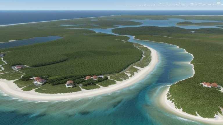
Poindimie, New Caledonia
Landing Point · NC New Caledonia
Connected Cables
| Cable | Status |
|---|---|
| Picot-1 | Active |
📡 Live Performance
RTT measurements to this landing point from 2026-03-07 through 2026-06-27 - live ICMP round-trip time via our monitoring probes. Recomputed daily. ✓ No anomalies detected in the monitored period.
Measurement sources
| Probe | Location | Samples | Avg |
|---|---|---|---|
| #1014589 own probe | Almaty KZ | 8 | 6.0 ms |
| #1014473 own probe | Minsk BY | 6 | 2.1 ms |
| #6427 own probe | Sydney AU | 4 | 1.1 ms |
| #6487 own probe | Singapore SG | 4 | 0.9 ms |
| #1014597 own probe | Tbilisi GE | 4 | 25.4 ms |
| #1014969 own probe | Jerusalem IL | 4 | 18.0 ms |
| #1015932 own probe | Odessa UA | 3 | 0.7 ms |
| #1015984 own probe | Balancer IL | 3 | 58.9 ms |
| #1015313 own probe | Sevastopol UA | 1 | 1.5 ms |
| #1015523 own probe | Moscow RU | 1 | 63.4 ms |
About Poindimie, New Caledonia
How the Internet Reaches Poindimié
Poindimié is a coastal town on the eastern shore of Grande Terre, the main island of New Caledonia, a French special collectivity in the southwestern Pacific Ocean. International internet traffic reaches New Caledonia through submarine cables, and Poindimié sits directly on the route of one such cable that connects multiple points along the island's coastline. Unlike a regional hub serving cross-continental traffic, Poindimié functions as a domestic terminus — one stop on an intra-territory cable linking communities around New Caledonia itself.
The single submarine cable landing at Poindimié, Picot-1, does not extend beyond New Caledonian waters. All of its landing points are within the territory, making this a domestic connectivity link rather than an international gateway. International traffic bound for Poindimié ultimately transits through New Caledonia's broader cable network before reaching the local segment served by Picot-1.
The Cable Serving Poindimié
The Picot-1 cable, which entered service in 2008, connects Poindimié to two other New Caledonian communities: Mouly and Xepenehe. Both of those landing points are also located within New Caledonia. The cable spans an average corridor consistent with New Caledonia's territorial cable average of 1,124 km and links communities on different parts of the island chain, providing inter-community connectivity within the territory rather than a link to any foreign country.
Regional Context
New Caledonia as a whole is served by 3 submarine cables landing across 9 points along its coastline, with the earliest cable in service since 2008 — the same year Picot-1 was commissioned. Among the territory's landing points, Noumea, the capital, stands out as the primary international gateway, hosting 2 cables. Poindimié, Mouly, Tadine, Vao, and Mont-Dore each host a single cable, forming a network of smaller domestic terminuses that extend connectivity beyond the capital into regional communities. Xepenehe, one of Picot-1's other landings, shares this same single-cable profile.
What This Means for Connectivity
Because Poindimié is served by only one submarine cable — and that cable connects exclusively to other points within New Caledonia — all internet traffic entering or leaving Poindimié travels through Picot-1. An outage on this cable would sever the community's submarine link entirely, affecting every service that depends on connectivity beyond the local network. The destinations reachable directly via Picot-1 are the fellow New Caledonian communities of Mouly and Xepenehe, making this an inter-island and inter-community link by nature.
Understanding Poindimié's position in the cable map illustrates a pattern common across Pacific island territories: international connectivity concentrates at a primary hub — here, Noumea — while domestic cables extend that reach to outlying communities. Poindimié's place on Picot-1 reflects how territorial internet topology is built outward from a central gateway rather than through independent international connections at each coastal town.
What next: Poindimie, New Caledonia in the global directory of cable landing points; see surrounding routes on the interactive submarine cable map or follow live network monitoring.
Other Landing Points in New Caledonia
Landing Point
- CountryNC New Caledonia
- Coordinates20.9459°S 165.3416°E
- Connected Cables1
See Real Cable Routes
View actual submarine cable routing from Poindimie, New Caledonia - with backbone nodes, distance calculations, and latency estimates
Open Calculator →