Tumon Bay, Guam
Landing Point · GU Guam
Connected Cables
| Cable | Status |
|---|---|
| Australia-Japan Cable (AJC) | Active |
| Guam Okinawa Kyushu Incheon (GOKI) | Active |
Live Performance
RTT measurements to this landing point from 2026-04-12 through 2026-09-05 - live ICMP round-trip time via our monitoring probes. Recomputed daily.
Measurement sources
| Probe | Location | Samples | Avg |
|---|---|---|---|
| #34380 | control probe | 158 | 96.6 ms |
| #6427 own probe | Sydney AU | 120 | 246.2 ms |
| #6410 own probe | Sao Paulo BR | 119 | 284.2 ms |
| #6487 own probe | Singapore SG | 118 | 242.4 ms |
| #7062 own probe | Cape Town ZA | 49 | 358.0 ms |
| #1014589 own probe | Almaty KZ | 48 | 341.7 ms |
| #1014473 own probe | Minsk BY | 46 | 291.0 ms |
| #1014597 own probe | Tbilisi GE | 44 | 303.1 ms |
| #1014969 own probe | Jerusalem IL | 36 | 310.6 ms |
| #1015523 own probe | Moscow RU | 36 | 287.8 ms |
| #1015893 own probe | Rostov RU | 35 | 314.8 ms |
| #1015932 own probe | Odessa UA | 35 | 288.5 ms |
| #1015984 own probe | Balancer IL | 35 | 311.2 ms |
| #1016031 own probe | Kyiv UA | 34 | 269.8 ms |
| #1015563 own probe | Saint Petersburg RU | 13 | 250.1 ms |
| #1015313 own probe | Sevastopol UA | 4 | 87.8 ms |
| #329 | control probe | 1 | 147.2 ms |
| #7385 | control probe | 1 | 0.0 ms |
| #60703 | control probe | 1 | 2.5 ms |
About Tumon Bay, Guam
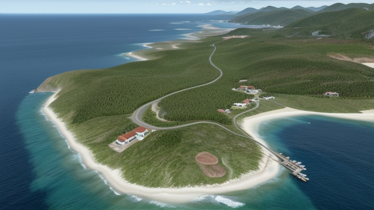
Tumon Bay, Guam is a submarine cable landing point in Guam (coordinates 13.5136°, 144.8006°). It serves 2 submarine cable systems, making it a multi-cable landing site in Guam's international connectivity infrastructure.
Tumon Bay is a bay in the United States territory of Guam, opening to the Philippine Sea. It is bounded to the north by Two Lovers Point and to the south by Ypao Point. The entirety of the bay falls within the Tumon Bay Marine Preserve, also known as the Tumon Bay Marine Preserve Area (MPA) and Tumon Preserve, one of five marine preserves on Guam. The Preserve measures 4.54 square kilometers and is roughly two miles long. The platform of the fringing reef that separates the open ocean from the lagoon is up to 1,450 feet (440 m) wide. and up to one mile from the shore. The bay is located off of the Tumon area, the tourist center of the island, in the village of Tamuning. The bay is extensively utilized for recreation and fishing. Wikipedia
Connected submarine cables
| Cable | RFS | Length | Owners |
|---|---|---|---|
| Guam Okinawa Kyushu Incheon (GOKI) | 2013 | 4,244 km | AT&T |
| Australia-Japan Cable (AJC) | 2001 | 12,700 km | AT&T, NTT, Softbank, … |
Operators landing at Tumon Bay, Guam
Cables landing at Tumon Bay, Guam are operated by 5 distinct consortium partners and carriers, including AT&T, NTT, Softbank, Telstra, Verizon. Each cable is typically jointly owned by a consortium of tier-one carriers and hyperscale operators who share construction costs and capacity; the operator mix reflects both regional incumbents and global players with interest in the routes served by this landing point.
Connectivity profile
From Tumon Bay, Guam, international traffic can reach 3 countries through 2 cable systems. Destinations include Australia, Guam, Japan.
Monitoring status
No monitoring incidents were recorded on cables serving Tumon Bay, Guam in the past 90 days — all connected systems remained within normal latency thresholds. Our monitoring network continuously samples latency from external probes to targets reachable via these cables.
About the cables
- Guam Okinawa Kyushu Incheon (GOKI) (2013) — Guam Okinawa Kyushu Incheon (GOKI) is a point-to-point submarine cable linking Japan and Guam. Landing at Kitakyushu, Naha, Tumon Bay, it provides a direct fiber-optic path between the two countries, serving as both a primary data route and a redundancy option for neighboring cable systems. Read more →
- Australia-Japan Cable (AJC) (2001) — Australia-Japan Cable (AJC) is a cross-regional submarine cable connecting Japan, Australia, Guam. Its 6 landing points at Maruyama, Oxford Falls, Paddington, Shima, Tanguisson Point, and 1 more bridge the networks of East Asia, Oceania, providing an important path for international data traffic. Read more →
What next: Tumon Bay, Guam in the global directory of cable landing points; see surrounding routes on the interactive submarine cable map or follow live network monitoring.
Other Landing Points in Guam
FAQ
Landing Point
- CountryGU Guam
- Coordinates13.5136°N 144.8006°E
- Connected Cables2
See Real Cable Routes
View actual submarine cable routing from Tumon Bay, Guam - with backbone nodes, distance calculations, and latency estimates
Open Calculator →