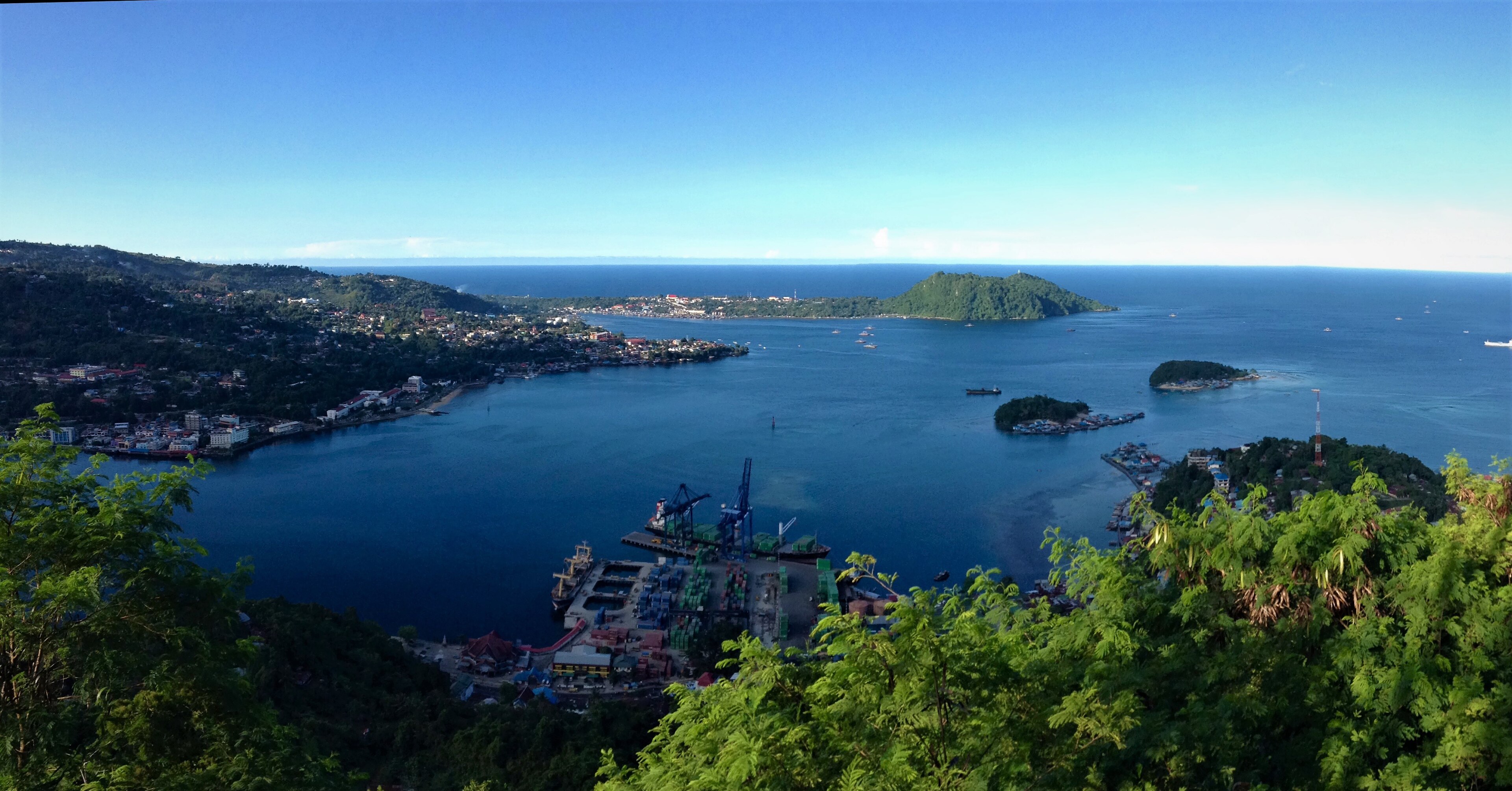
Timika, Indonesia
Landing Point · ID Indonesia
Connected Cables
| Cable | Status |
|---|---|
| Palapa Ring East | Active |
| SMPCS Packet-2 | Active |
📡 Live Performance
RTT measurements to this landing point from 2026-07-14 through 2026-07-14 - live ICMP round-trip time via our monitoring probes. Recomputed daily. ✓ No anomalies detected in the monitored period.
Measurement sources
| Probe | Location | Samples | Avg |
|---|---|---|---|
| #6410 own probe | Sao Paulo BR | 2 | 291.1 ms |
| #6427 own probe | Sydney AU | 2 | 217.5 ms |
| #6487 own probe | Singapore SG | 2 | 113.8 ms |
| #7062 own probe | Cape Town ZA | 2 | 438.9 ms |
| #1014589 own probe | Almaty KZ | 2 | 368.1 ms |
| #1014597 own probe | Tbilisi GE | 2 | 322.1 ms |
About Timika, Indonesia
Timika: Submarine Cable Landing Point
Timika is a city on the southern coast of Central Papua, Indonesia, serving as the capital of Mimika Regency. As an Indonesian landing point, it sits within one of the most extensively cabled archipelago nations in the world, where 70 submarine cables connect 139 landing points across the country. Two submarine cables make landfall at Timika, linking it into Indonesia's domestic connectivity network.
Both cables landing at Timika connect exclusively to other points within Indonesia, positioning the city as a node in the country's intra-archipelago submarine cable infrastructure. The Palapa Ring East and the SMPCS Packet-2 systems together reflect Indonesia's sustained investment in extending submarine connectivity to its eastern and more remote territories, including Papua. Timika's role in this network is therefore oriented entirely toward domestic inter-island connectivity rather than international or intercontinental links.
Cables Landing at Timika
Palapa Ring East is a submarine cable system spanning 6,300 kilometres, with a ready-for-service date of 2019. This cable connects landing points exclusively within Indonesia, forming part of the broader Palapa Ring initiative designed to extend high-capacity submarine connectivity across the Indonesian archipelago, including its eastern provinces. Timika is one of the landing points served by this system.
SMPCS Packet-2 is a submarine cable system measuring 3,498 kilometres in length, with a ready-for-service date of 2015. Like the Palapa Ring East, it connects landing points within Indonesia only, contributing to the domestic inter-island network that serves coastal communities and provincial centres across the country. Its arrival in Timika predates the Palapa Ring East by four years, making it the earlier of the two systems to bring submarine cable connectivity to the city.
Regional Context
Within Indonesia's landing point landscape, Timika hosts 2 cables, placing it in the top 85 percent of the country's 143 landing points by cable count. Compared to major Indonesian hubs such as Batam (20 cables), Jakarta (9 cables), and Manado (8 cables), Timika serves a more focused domestic connectivity function. Nevertheless, its position as a two-cable landing point distinguishes it from the many single-cable or uncabled coastal locations across the archipelago.
Network Role
Timika functions as a domestic inter-island terminus, with both of its submarine cables operating entirely within Indonesia. The combination of the Palapa Ring East and SMPCS Packet-2 provides the city with two independent system connections, offering a degree of redundancy within the domestic network. This distinguishes Timika from a single-cable terminus and reflects its sustained inclusion in successive phases of Indonesia's intra-archipelago cable development.
Within the broader Indonesian submarine cable graph, Timika represents the extension of domestic cable infrastructure into Central Papua, connecting a southern Papuan coastal city to the wider national network through two separate systems spanning a combined distance of nearly 10,000 kilometres.
What next: Timika, Indonesia in the global directory of cable landing points; see surrounding routes on the interactive submarine cable map or follow live network monitoring.
Other Landing Points in Indonesia
Landing Point
- CountryID Indonesia
- Coordinates4.5503°S 136.8896°E
- Connected Cables2
See Real Cable Routes
View actual submarine cable routing from Timika, Indonesia - with backbone nodes, distance calculations, and latency estimates
Open Calculator →