St. George's Bay, Malta
Landing Point · MT Malta
Connected Cables
| Cable | Status |
|---|---|
| Italy-Malta | Active |
Live Performance
RTT measurements to this landing point from 2026-04-11 through 2026-09-07 - live ICMP round-trip time via our monitoring probes. Recomputed daily. ✓ No anomalies detected in the monitored period.
Measurement sources
| Probe | Location | Samples | Avg |
|---|---|---|---|
| #611 | control probe | 74 | 100.9 ms |
| #1015932 own probe | Odessa UA | 5 | 69.7 ms |
| #1015984 own probe | Balancer IL | 5 | 80.7 ms |
| #6427 own probe | Sydney AU | 4 | 261.3 ms |
| #1014969 own probe | Jerusalem IL | 4 | 83.2 ms |
| #6487 own probe | Singapore SG | 3 | 204.5 ms |
| #1014473 own probe | Minsk BY | 1 | 66.5 ms |
| #1014589 own probe | Almaty KZ | 1 | 120.2 ms |
| #1014597 own probe | Tbilisi GE | 1 | 74.2 ms |
| #1015313 own probe | Sevastopol UA | 1 | 105.8 ms |
| #1015523 own probe | Moscow RU | 1 | 71.0 ms |
About St. George's Bay, Malta
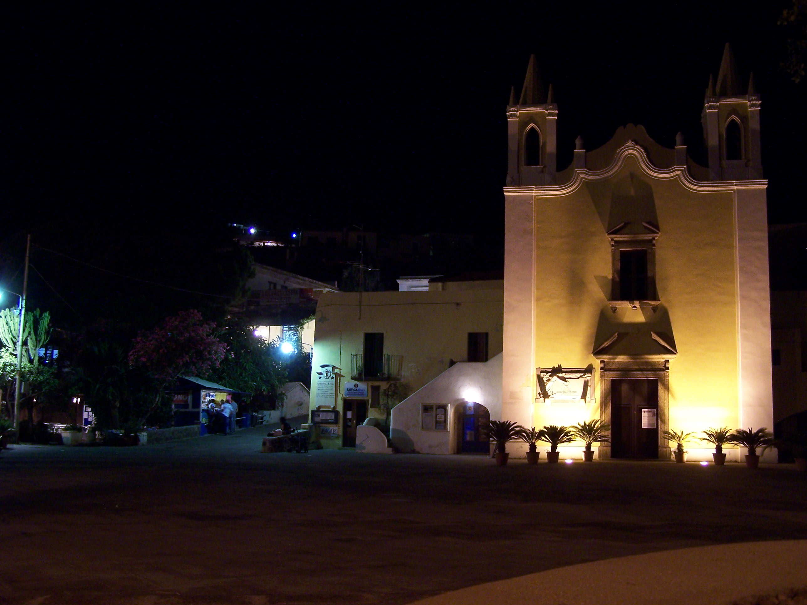
St. George's Bay, Malta: Submarine Cable Landing Point
St. George's Bay is a coastal landing point located in Malta, a small island nation in the central Mediterranean Sea. Situated along the northeastern coastline north of the capital Valletta, in the area of St. Julian's, it serves as one of seven submarine cable landing points distributed across the Maltese archipelago. One submarine cable lands at St. George's Bay, connecting Malta directly to Italy and establishing a short cross-Mediterranean link between the two countries.
The single cable landing here, the Italy-Malta system, forms a corridor across the central Mediterranean, linking the Maltese islands to the Italian peninsula. This bilateral connection represents a regionally focused link rather than a long-haul intercontinental route, reflecting Malta's geographic position as a small island state in close proximity to southern Europe.
Cables Landing at St. George's Bay
The Italy-Malta cable is the sole submarine cable landing at St. George's Bay. Spanning approximately 238 kilometres, it connects Malta to Italy and reached ready-for-service status in 1994, making it one of the earliest submarine cable deployments in Malta's infrastructure history. As a relatively short system, it provides a direct bilateral link between the two nations across the central Mediterranean.
Regional Context
Within Malta's submarine cable geography, St. George's Bay is one of seven landing points spread across the country, hosting one cable alongside comparable single-cable sites such as Balluta Bay, Golden Bay, Mgarr ix-Xini, and St. Paul's Bay. The landing points at Bahar ic-Caghaq and Mellieha each host two cables, making them slightly more concentrated nodes within Malta's overall submarine network. St. George's Bay therefore occupies a similar standing to several other Maltese landing points in terms of cable count.
Network Role
St. George's Bay functions as a single-cable terminus, hosting one bilateral connection between Malta and Italy. The Italy-Malta cable it terminates provides a direct Mediterranean corridor between Maltese and Italian shores, contributing to the broader set of international submarine links that collectively serve the island nation. As a terminus rather than a multi-cable hub, its role is focused and specific, complementing the wider spread of landing points distributed across Malta's coastline.
Within the regional submarine cable graph, St. George's Bay represents one node in a distributed Maltese landing infrastructure where connectivity is spread across multiple coastal sites rather than concentrated at a single point, reflecting the island's geographic layout and the variety of cable systems that have been deployed to serve it over the decades.
What next: St. George's Bay, Malta in the global directory of cable landing points; see surrounding routes on the interactive submarine cable map or follow live network monitoring.
Other Landing Points in Malta
Landing Point
- CountryMT Malta
- Coordinates35.9259°N 14.4854°E
- Connected Cables1
See Real Cable Routes
View actual submarine cable routing from St. George's Bay, Malta - with backbone nodes, distance calculations, and latency estimates
Open Calculator →