San Pedro de la Paz, Chile
Landing Point · CL Chile
Connected Cables
| Cable | Status |
|---|---|
| Prat | Active |
Live Performance
RTT measurements to this landing point from 2026-04-13 through 2026-08-27 - live ICMP round-trip time via our monitoring probes. Recomputed daily. ✓ No anomalies detected in the monitored period.
Measurement sources
| Probe | Location | Samples | Avg |
|---|---|---|---|
| #1014589 own probe | Almaty KZ | 12 | 324.2 ms |
| #6410 own probe | Sao Paulo BR | 7 | 118.7 ms |
| #7062 own probe | Cape Town ZA | 7 | 325.1 ms |
| #1014473 own probe | Minsk BY | 5 | 249.5 ms |
| #1014597 own probe | Tbilisi GE | 5 | 296.4 ms |
| #1014969 own probe | Jerusalem IL | 5 | 297.0 ms |
| #6427 own probe | Sydney AU | 4 | 327.7 ms |
| #6487 own probe | Singapore SG | 4 | 334.5 ms |
| #1015523 own probe | Moscow RU | 3 | 292.7 ms |
| #1015313 own probe | Sevastopol UA | 2 | 299.7 ms |
| #7367 | control probe | 1 | 10.1 ms |
| #65535 | control probe | 1 | 11.9 ms |
| #65965 | control probe | 1 | 9.3 ms |
About San Pedro de la Paz, Chile
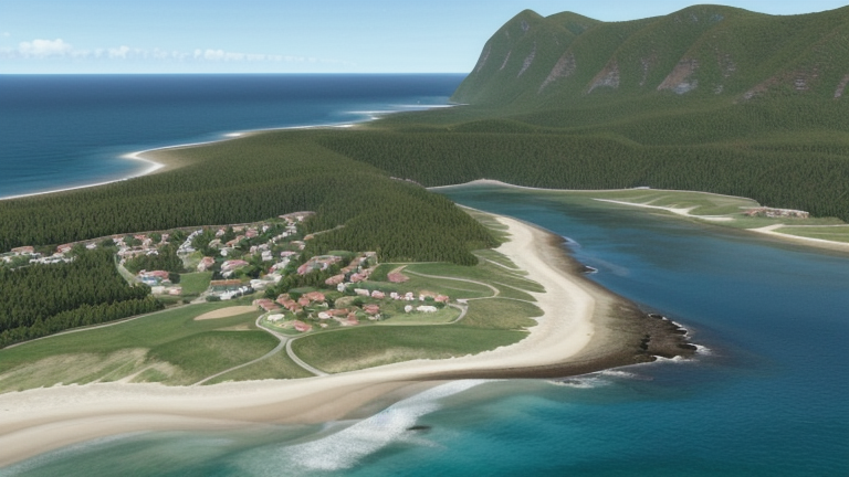
San Pedro de la Paz, Chile: Submarine Cable Landing Point
San Pedro de la Paz is a city and commune located in the Concepción Province, within Chile's Biobío Region, forming part of the Greater Concepción conurbation along the country's south-central Pacific coast. As a submarine cable landing point, San Pedro de la Paz hosts one cable that connects it to other points along the Chilean coastline, contributing to the domestic submarine cable infrastructure of South America's longest Pacific-facing nation.
The single cable landing at San Pedro de la Paz — Prat — operates entirely within Chilean territory, making this landing point a node in an intra-national submarine corridor rather than an intercontinental link. Chile's network of submarine cables spans 19 landing points across the country, and San Pedro de la Paz occupies a defined position within that domestic framework.
Cables Landing at San Pedro de la Paz
Prat is a submarine cable with a length of approximately 3,500 km, reaching ready-for-service status in 2020 as a draft system. The cable connects landing points exclusively within Chile, making it a domestic Chilean cable. At 3,500 km, it represents a substantial intra-national route running along Chile's extended Pacific coastline, linking San Pedro de la Paz to other Chilean communities served by the same system.
Regional Context
Among Chile's 19 submarine cable landing points, San Pedro de la Paz ranks alongside other single-cable locations such as Antofagasta, Caldera, and Cartagena, each of which also hosts one submarine cable. By cable count, it sits within the lower tier of Chilean landing points, well behind Valparaíso with six cables and Arica with three. Puerto Montt, another south-central coastal hub, hosts two cables, giving it a marginally broader connectivity profile than San Pedro de la Paz.
Network Role
San Pedro de la Paz functions as a single-cable terminus on the Prat system, a domestically oriented route running the length of Chile's Pacific coast. Its role is therefore one of intra-national connectivity, linking communities within Chile along a corridor that spans 3,500 km of coastline. As a node on a Chile-only cable, it does not participate directly in intercontinental submarine links but instead supports regional data distribution within the Chilean network.
In the broader Chilean submarine cable graph, San Pedro de la Paz represents one of several coastal access points that together distribute domestic connectivity across a geographically elongated country, where overland infrastructure must contend with extreme terrain and where submarine cables provide an efficient coastal alternative.
What next: San Pedro de la Paz, Chile in the global directory of cable landing points; see surrounding routes on the interactive submarine cable map or follow live network monitoring.
Other Landing Points in Chile
Landing Point
- CountryCL Chile
- Coordinates36.8317°S 73.1090°W
- Connected Cables1
See Real Cable Routes
View actual submarine cable routing from San Pedro de la Paz, Chile - with backbone nodes, distance calculations, and latency estimates
Open Calculator →