La Serena, Chile
Landing Point · CL Chile
Connected Cables
| Cable | Status |
|---|---|
| Prat | Active |
Live Performance
RTT measurements to this landing point from 2026-04-10 through 2026-05-24 - live ICMP round-trip time via our monitoring probes. Recomputed daily. ✓ No anomalies detected in the monitored period.
Measurement sources
| Probe | Location | Samples | Avg |
|---|---|---|---|
| #1014589 own probe | Almaty KZ | 6 | 321.4 ms |
| #1014597 own probe | Tbilisi GE | 6 | 302.5 ms |
| #1014473 own probe | Minsk BY | 5 | 255.3 ms |
| #1014969 own probe | Jerusalem IL | 5 | 274.0 ms |
| #1015313 own probe | Sevastopol UA | 3 | 308.2 ms |
| #1015523 own probe | Moscow RU | 3 | 290.0 ms |
| #1015563 own probe | Saint Petersburg RU | 1 | 251.3 ms |
About La Serena, Chile
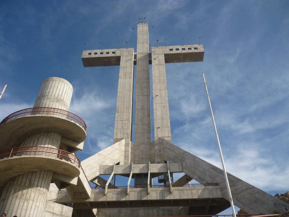
La Serena, Chile: Submarine Cable Landing Point
La Serena is a city on the northern Pacific coast of Chile, serving as the capital of the Coquimbo Region. Founded in 1544, it is one of Chile's oldest cities and sits along a coastline that connects it to the country's broader submarine cable network. One submarine cable lands at La Serena, linking this coastal city into Chile's domestic undersea communications infrastructure.
The single cable serving La Serena is the Prat system, which connects multiple landing points along the Chilean coast. This makes La Serena part of a domestic intra-country corridor rather than an intercontinental gateway. The Prat cable was ready for service in 2020 and spans approximately 3,500 kilometres, threading together Chilean communities along the Pacific seaboard.
Cables Landing at La Serena
The Prat cable is the sole submarine cable landing at La Serena. With a total length of 3,500 kilometres and a ready-for-service date of 2020, this system operates entirely within Chile, connecting domestic landing points along the country's extended Pacific coastline. Its reach of 3,500 kilometres reflects the considerable geographic length of Chile itself, and the cable serves as an undersea link between Chilean communities that would otherwise rely entirely on terrestrial connections. The Prat cable's draft status at time of recording places it among the newer additions to Chile's submarine cable inventory.
Regional Context
Within Chile's network of 19 submarine cable landing points, La Serena ranks alongside a small group of single-cable locations that includes Antofagasta, Caldera, and Cartagena. Valparaíso leads the country with six cables, while Arica hosts three and Puerto Montt hosts two, each representing busier nodes in Chile's submarine cable graph. La Serena's position in the top 84 percent of Chilean landing points by cable count reflects the distributed nature of Chile's coastal infrastructure, where connectivity is spread across numerous smaller termination points in addition to the country's main hubs.
Network Role
La Serena functions as a single-cable terminus within Chile's domestic submarine cable system. Its connection via the Prat cable ties the city into an intra-national corridor running along Chile's Pacific coast, providing an undersea route that complements terrestrial networks serving the Coquimbo Region and its surrounding communities. The Prat system, at 3,500 kilometres, covers a substantial coastal span entirely within Chilean territory.
As a one-cable landing point in a country where nine submarine cables arrive across 19 locations, La Serena represents the distributed edge of Chile's domestic undersea network. Its presence in that network illustrates how Chile's elongated geography drives demand for submarine connectivity even between domestic endpoints, ensuring that coastal cities beyond the main hubs at Valparaíso and Arica maintain access to undersea communications routes.
What next: La Serena, Chile in the global directory of cable landing points; see surrounding routes on the interactive submarine cable map or follow live network monitoring.
Other Landing Points in Chile
Landing Point
- CountryCL Chile
- Coordinates29.9063°S 71.2502°W
- Connected Cables1
See Real Cable Routes
View actual submarine cable routing from La Serena, Chile - with backbone nodes, distance calculations, and latency estimates
Open Calculator →