Melonguane, Indonesia
Landing Point · ID Indonesia
Connected Cables
| Cable | Status |
|---|---|
| Palapa Ring Middle | Active |
Live Performance
RTT measurements to this landing point from 2026-04-08 through 2026-09-04 - live ICMP round-trip time via our monitoring probes. Recomputed daily. ✓ No anomalies detected in the monitored period.
Measurement sources
| Probe | Location | Samples | Avg |
|---|---|---|---|
| #1014589 own probe | Almaty KZ | 8 | 264.5 ms |
| #6410 own probe | Sao Paulo BR | 5 | 356.9 ms |
| #6427 own probe | Sydney AU | 5 | 108.8 ms |
| #6487 own probe | Singapore SG | 4 | 19.6 ms |
| #7062 own probe | Cape Town ZA | 4 | 316.4 ms |
| #1014473 own probe | Minsk BY | 4 | 264.8 ms |
| #1014597 own probe | Tbilisi GE | 4 | 258.6 ms |
| #7611 | control probe | 3 | 73.7 ms |
| #63007 | control probe | 3 | 73.2 ms |
| #1014969 own probe | Jerusalem IL | 3 | 252.8 ms |
| #61349 | control probe | 2 | 144.1 ms |
| #1015313 own probe | Sevastopol UA | 2 | 231.7 ms |
| #22938 | control probe | 1 | 84.1 ms |
| #1015523 own probe | Moscow RU | 1 | 209.9 ms |
About Melonguane, Indonesia
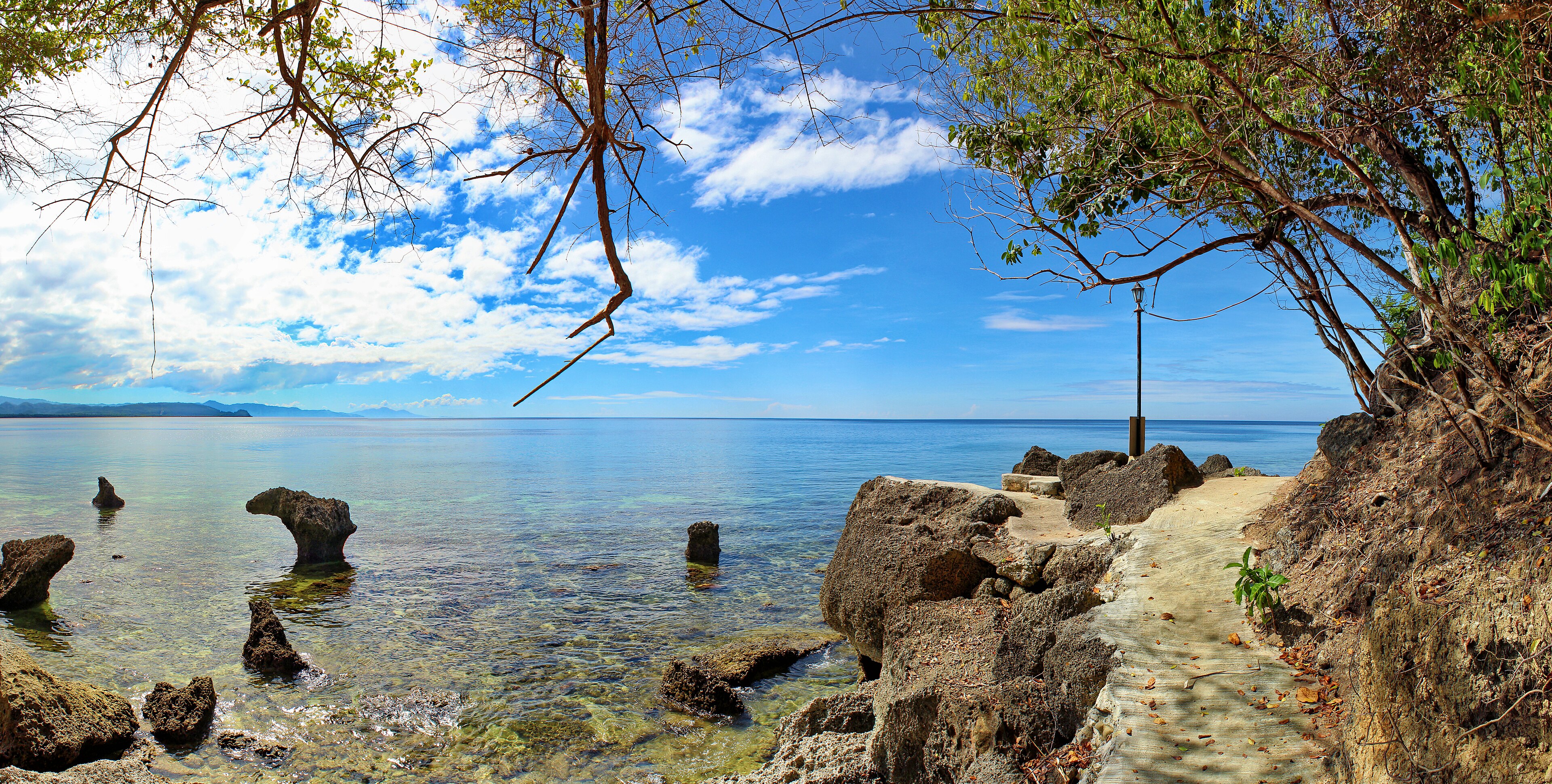
Melonguane: Submarine Cable Landing Point
Melonguane is a town in the Talaud Islands Regency of North Sulawesi province, Indonesia, serving as the administrative capital of the regency. Situated in the northeastern reaches of the Indonesian archipelago, Melonguane hosts one submarine cable landing, connecting it to Indonesia's broader domestic telecommunications network. That cable, the Palapa Ring Middle, links Melonguane to other points within Indonesia, forming part of the country's inter-island connectivity framework.
The Palapa Ring Middle represents an entirely domestic cable system, meaning the connectivity enabled at Melonguane is oriented toward bridging this remote island community with other Indonesian territories rather than providing international links. For a town of Melonguane's size and geographic remoteness in the Talaud Islands, the presence of a submarine cable landing point reflects the national effort to extend reliable network infrastructure across Indonesia's dispersed island geography.
Cables Landing at Melonguane
The Palapa Ring Middle is the sole submarine cable landing at Melonguane. Spanning approximately 2,100 kilometres, this cable reached ready-for-service status in 2018. All endpoints on the Palapa Ring Middle are located within Indonesia, making it a purely domestic cable system. It forms part of the broader Palapa Ring initiative, which was designed to extend submarine cable infrastructure to underserved and remote regions of the Indonesian archipelago, including island communities such as those in the Talaud Islands Regency.
Regional Context
Within Indonesia's submarine cable landscape — which encompasses 70 cables across 139 landing points — Melonguane's single cable places it in the top 62 percent of Indonesian landing points by cable count. Compared to major Indonesian hubs such as Batam with 20 cables, Jakarta and Tanjung Pakis each with 9, and Manado with 8, Melonguane is a small-scale landing point. It serves a distinct role nonetheless, extending domestic submarine cable reach into the Talaud Islands, a region far removed from the country's primary connectivity centres.
Network Role
Melonguane functions as a single-cable terminus rather than a multi-cable hub. The Palapa Ring Middle connects it exclusively to other Indonesian endpoints, enabling inter-island communication within the national network. This positions Melonguane as a point of domestic reach extension rather than a gateway for international data exchange.
In the broader Indonesian submarine cable graph, Melonguane's role is to bring the Talaud Islands into the domestic cabled network. Its inclusion among Indonesia's 139 cable landing points illustrates how the country's submarine infrastructure extends well beyond its major urban and commercial centres to serve geographically isolated communities across the archipelago.
What next: Melonguane, Indonesia in the global directory of cable landing points; see surrounding routes on the interactive submarine cable map or follow live network monitoring.
Other Landing Points in Indonesia
Landing Point
- CountryID Indonesia
- Coordinates4.0430°N 126.7173°E
- Connected Cables1
See Real Cable Routes
View actual submarine cable routing from Melonguane, Indonesia - with backbone nodes, distance calculations, and latency estimates
Open Calculator →