Kokkini, Greece
Landing Point · GR Greece
Connected Cables
| Cable | Status |
|---|---|
| OTEGLOBE Kokkini-Bari | Active |
Live Performance
RTT measurements to this landing point from 2026-03-06 through 2026-09-08 - live ICMP round-trip time via our monitoring probes. Recomputed daily. ✓ No anomalies detected in the monitored period.
Measurement sources
| Probe | Location | Samples | Avg |
|---|---|---|---|
| #1011241 | control probe | 58 | 42.2 ms |
| #1014099 | control probe | 54 | 62.2 ms |
| #6427 own probe | Sydney AU | 5 | 266.2 ms |
| #1015932 own probe | Odessa UA | 5 | 79.4 ms |
| #1016031 own probe | Kyiv UA | 5 | 53.5 ms |
| #1014473 own probe | Minsk BY | 4 | 50.7 ms |
| #1014589 own probe | Almaty KZ | 4 | 107.4 ms |
| #1014597 own probe | Tbilisi GE | 4 | 80.9 ms |
| #1012317 | control probe | 1 | 72.8 ms |
| #1014969 own probe | Jerusalem IL | 1 | 95.2 ms |
About Kokkini, Greece
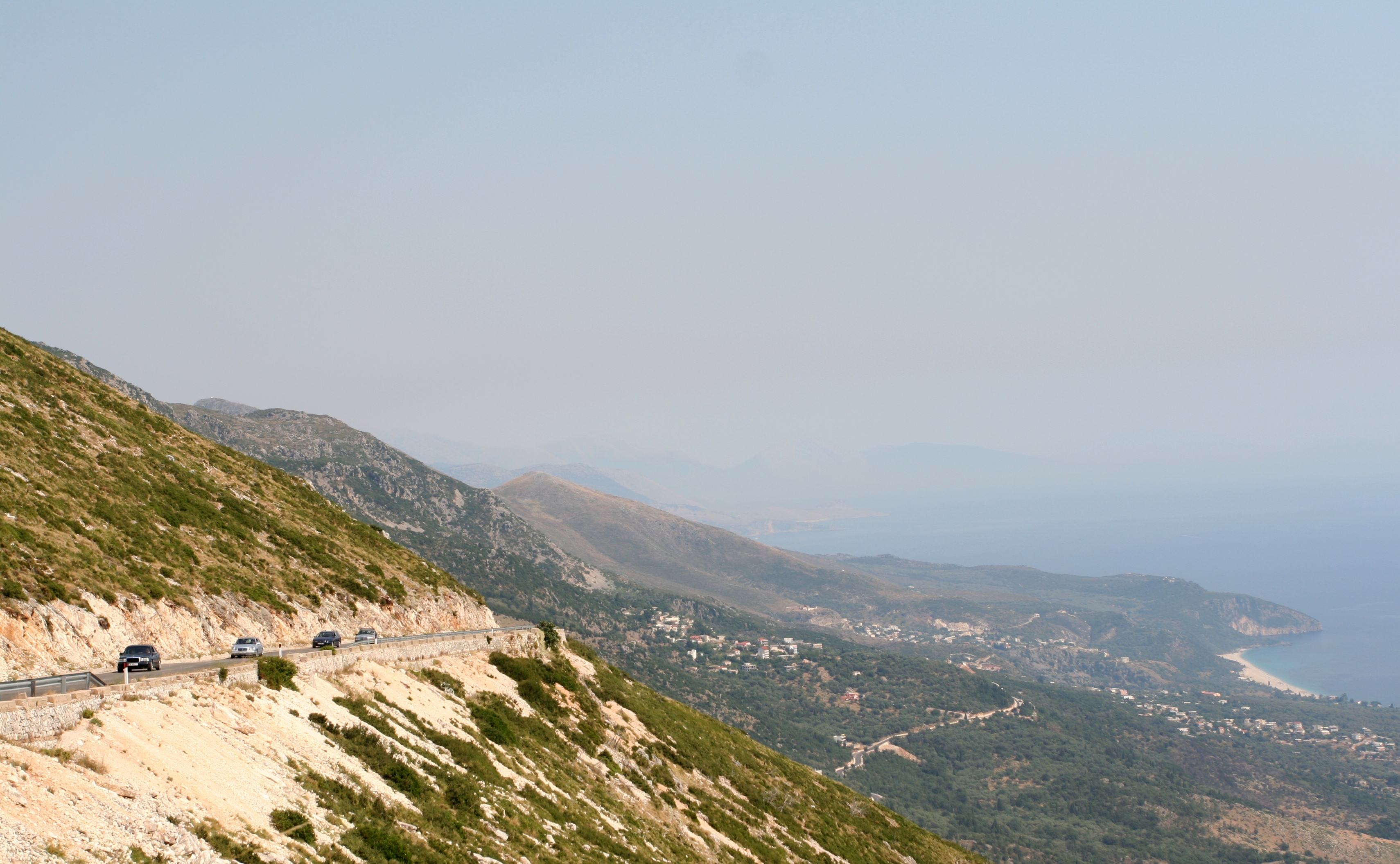
Kokkini, Greece: Submarine Cable Landing Point
Kokkini is a village on the island of Corfu, in northwestern Greece. Situated approximately 9 kilometres west of the city of Corfu, the village lies in the central part of the island between forests and farmlands. As a coastal landing point, Kokkini connects Greece to the broader Mediterranean submarine cable network. One submarine cable lands here, linking the Greek island of Corfu directly to Italy across the Adriatic and southern Mediterranean corridor.
The single cable landing at Kokkini, the OTEGLOBE Kokkini-Bari, establishes a direct bilateral connection between Greece and Italy. This route represents a cross-Adriatic corridor, one of the shorter international submarine cable spans in the region. At 700 kilometres in length, the cable provides a relatively compact but geographically direct path between the two countries, with Kokkini serving as the Greek terminus.
Cables Landing at Kokkini
The OTEGLOBE Kokkini-Bari cable spans 700 kilometres and reached ready-for-service status in 2004, with a draft designation on its system status. Its other endpoint lies in Bari, Italy, making this a direct Greece–Italy link across the Adriatic. The cable was developed under the OTEGLOBE network, the international arm of the Greek telecommunications operator OTE. Its relatively short length reflects the geographic proximity of Corfu to the Italian coastline, the Adriatic Sea narrowing considerably at this latitude.
Regional Context
Within Greece's submarine cable landscape of 36 landing points and 20 cables in total, Kokkini hosts a single cable, placing it among the smaller landing points by cable count. Major Greek landing points such as Chania, Athens, and Tympaki each host four or more cables, while Kokkini, alongside a number of other single- or dual-cable sites, forms part of the broader distributed network of Greek coastal access points. Its position on Corfu, however, gives it a distinct geographic role on the country's western Adriatic-facing coastline.
Network Role
Kokkini functions as a single-cable terminus rather than a multi-cable hub, anchoring one direct submarine link between Greece and Italy. The OTEGLOBE Kokkini-Bari cable enables connectivity across the Adriatic corridor, connecting the Greek island of Corfu to the Italian port city of Bari. This Greece–Italy pairing is one of the more geographically direct international submarine cable routes available within the region, taking advantage of the relatively narrow Adriatic crossing at Corfu's latitude.
Within the regional submarine cable graph, Kokkini's value lies in providing a dedicated western Greek island connection point on the Adriatic route, complementing the broader cluster of multi-cable landing sites concentrated elsewhere in the country, particularly in Crete and the greater Athens area.
What next: Kokkini, Greece in the global directory of cable landing points; see surrounding routes on the interactive submarine cable map or follow live network monitoring.
Other Landing Points in Greece
Landing Point
- CountryGR Greece
- Coordinates39.7538°N 19.9240°E
- Connected Cables1
See Real Cable Routes
View actual submarine cable routing from Kokkini, Greece - with backbone nodes, distance calculations, and latency estimates
Open Calculator →