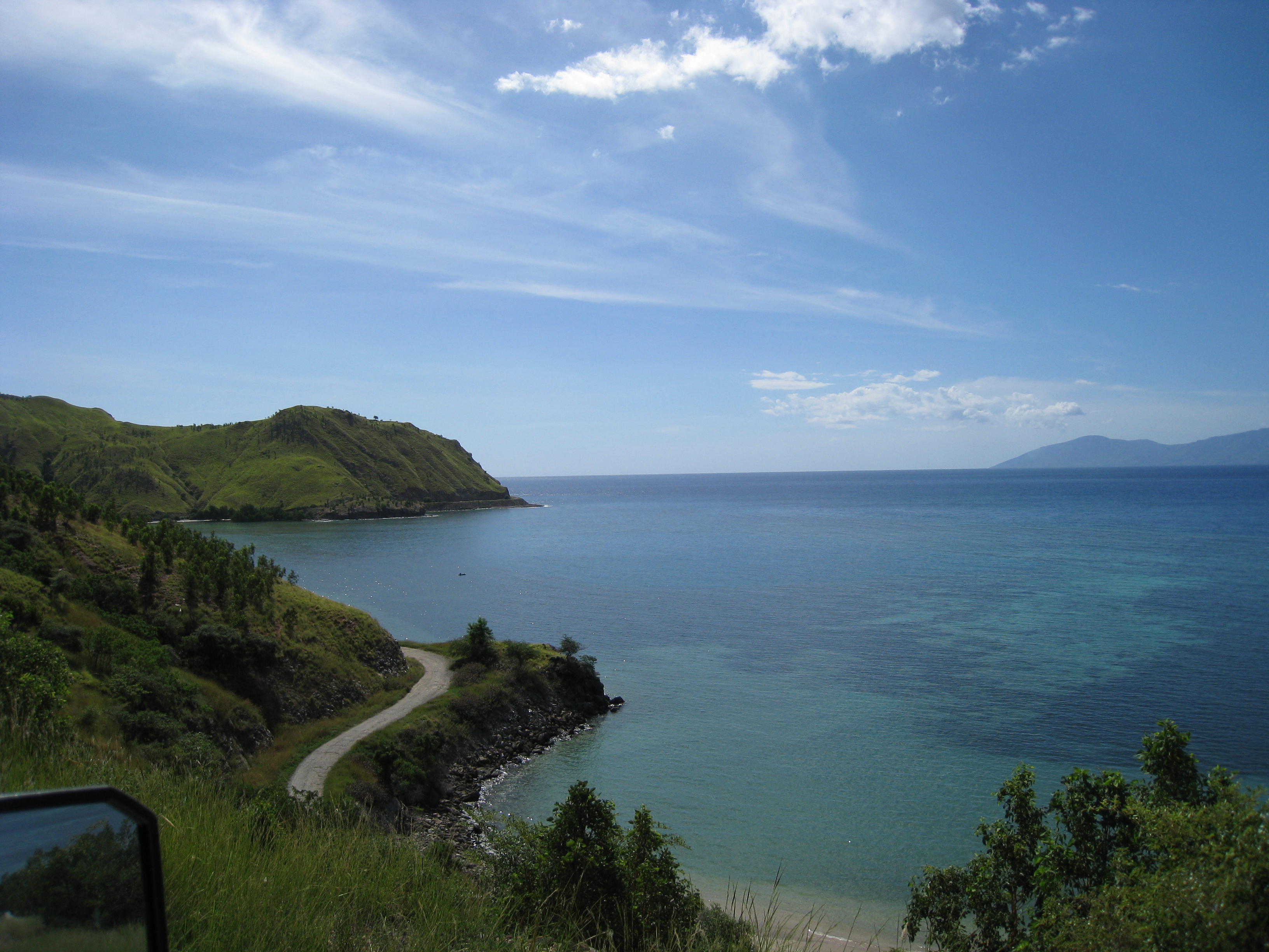
Kokar, Indonesia
Landing Point · ID Indonesia
1
Connected Cables
ID
Country
8.16°
Latitude
124.45°
Longitude
Ctrl + Scroll to zoom
Connected Cables
| Cable | Status |
|---|---|
| Palapa Ring East | Active |
📡 Live Performance
51
measurements
10
probes
118
days monitored
106.5
ms avg RTT
0
anomalies
RTT measurements to this landing point from 2026-03-22 through 2026-07-18 - live ICMP round-trip time via our monitoring probes. Recomputed daily. ✓ No anomalies detected in the monitored period.
Measurement sources
| Probe | Location | Samples | Avg |
|---|---|---|---|
| #1014473 own probe | Minsk BY | 10 | 94.1 ms |
| #1014589 own probe | Almaty KZ | 9 | 111.1 ms |
| #1014597 own probe | Tbilisi GE | 9 | 123.0 ms |
| #1014969 own probe | Jerusalem IL | 9 | 111.1 ms |
| #1015523 own probe | Moscow RU | 7 | 72.1 ms |
| #1015313 own probe | Sevastopol UA | 2 | 77.2 ms |
| #1015563 own probe | Saint Petersburg RU | 2 | 109.0 ms |
| #6410 own probe | Sao Paulo BR | 1 | 381.7 ms |
| #6427 own probe | Sydney AU | 1 | 107.4 ms |
| #6487 own probe | Singapore SG | 1 | 18.1 ms |
About Kokar, Indonesia
Kokar, Indonesia: A Remote Link in the Palapa Ring East
Kokar, a small landing point in Indonesia, plays a quiet yet significant role in the country's connectivity landscape. It is one of the 18 stops on the Palapa Ring East cable, a 6,300 km domestic network that stitches together remote and underserved regions of eastern Indonesia. Unlike major hubs such as Batam (20 cables) or Jakarta (10 cables), Kokar hosts just one cable. Yet, that single connection is part of a broader effort to extend digital access to areas far from Indonesia's urban centers.The Palapa Ring East: Connecting Kokar to the Nation
The Palapa Ring East cable, operational since 2019, is a domestic system designed to bridge the digital divide across Indonesia's sprawling archipelago. Kokar’s inclusion in this network reflects its role as a stepping stone in a chain that links remote regions like Agats, Kepulauan Aru, and Supiori to larger hubs such as Kupang and Timika. While Kokar does not directly connect to international networks, its position within the Palapa Ring East ensures that local communities can access national and global digital services through upstream connections.Latency Insights: Kokar’s Performance
GeoCables’ monitoring reveals Kokar’s average round-trip latency to be 112 milliseconds, with the best observed latency at 18 milliseconds. These measurements highlight the efficiency of the Palapa Ring East cable in delivering connectivity across Indonesia’s vast geography. For a landing point in such a remote area, these latency figures are promising, enabling Kokar to support essential services like communication, education, and commerce.A Contrast with Indonesia’s Major Cable Hubs
Kokar’s single cable stands in stark contrast to Indonesia’s major landing points like Batam, Jakarta, and Makassar, which host multiple international and domestic cables. These hubs act as gateways to global networks, while Kokar’s role is more localized - serving as a link in the chain that connects eastern Indonesia’s islands to the rest of the country. This difference underscores the diversity of Indonesia’s submarine cable infrastructure, where major hubs coexist with smaller, strategic points like Kokar.Why Kokar Matters
Kokar may not be a bustling economic center or a hub of international connectivity, but its inclusion in the Palapa Ring East cable is a testament to Indonesia’s commitment to connecting its remote regions. For the residents of Kokar and surrounding areas, this cable represents access to the digital world - a connection to education, healthcare, and economic opportunities that would otherwise be out of reach. In the grand scheme of Indonesia’s 70 submarine cables and 139 landing points, Kokar is a modest player. Yet, its role in the Palapa Ring East network ensures that even the farthest corners of the archipelago are part of the nation’s digital future.What next: Kokar, Indonesia in the global directory of cable landing points; see surrounding routes on the interactive submarine cable map or follow live network monitoring.
Other Landing Points in Indonesia
ID Aeng Batu Batu, Indonesia
5.3433°S 119.3846°E
ID Agats, Indonesia
5.5356°S 138.1214°E
ID Alor, Indonesia
8.3207°S 124.4038°E
ID Ambon, Indonesia
3.6554°S 128.1907°E
ID Ancol, Indonesia
6.1290°S 106.8334°E
ID Anyer, Indonesia
6.0737°S 105.8839°E
ID Baa, Indonesia
10.7333°S 123.0353°E
ID Bali, Indonesia
8.4101°S 115.6924°E
ID Balikpapan, Indonesia
1.2654°S 116.8312°E
ID Bandaneria, Indonesia
4.5202°S 129.8721°E
ID Bandar Lampung, Indonesia
5.4092°S 105.2541°E
ID Bangga, Indonesia
1.6003°S 123.5275°E
Landing Point
- CountryID Indonesia
- Coordinates8.1583°S 124.4535°E
- Connected Cables1
See Real Cable Routes
View actual submarine cable routing from Kokar, Indonesia - with backbone nodes, distance calculations, and latency estimates
Open Calculator →
🌊 Submarine cables
🛤 Land fiber
📡 Live probes