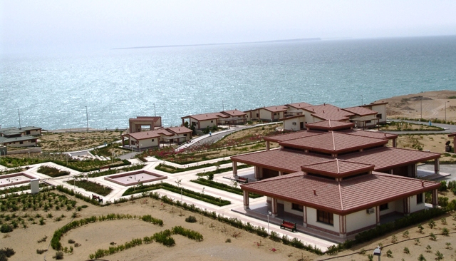
Chabahar, Iran
Landing Point · IR Iran
Connected Cables
| Cable | Status |
|---|---|
| FALCON | Active |
| OMRAN/EPEG | Active |
| Pishgaman Oman Iran (POI) Network | Active |
📡 Live Performance
RTT measurements to this landing point from 2026-03-06 through 2026-07-22 - live ICMP round-trip time via our monitoring probes. Recomputed daily.
Measurement sources
| Probe | Location | Samples | Avg |
|---|---|---|---|
| #6798 | control probe | 178 | 140.5 ms |
| #65614 | control probe | 170 | 160.2 ms |
| #12496 | control probe | 12 | 1.0 ms |
| #1014473 own probe | Minsk BY | 5 | 68.8 ms |
| #1014589 own probe | Almaty KZ | 5 | 97.9 ms |
| #1014597 own probe | Tbilisi GE | 5 | 130.2 ms |
| #1014969 own probe | Jerusalem IL | 5 | 131.3 ms |
| #1015313 own probe | Sevastopol UA | 4 | 56.7 ms |
| #6410 own probe | Sao Paulo BR | 3 | 269.7 ms |
| #6427 own probe | Sydney AU | 3 | 343.6 ms |
| #6487 own probe | Singapore SG | 3 | 520.8 ms |
| #7062 own probe | Cape Town ZA | 3 | 238.1 ms |
| #1015523 own probe | Moscow RU | 3 | 85.4 ms |
| #1015563 own probe | Saint Petersburg RU | 3 | 133.2 ms |
| #1015932 own probe | Odessa UA | 2 | 56.4 ms |
| #6392 | control probe | 1 | 42.5 ms |
About Chabahar, Iran
Chabahar, Iran is a submarine cable landing point in Iran (coordinates 25.2982°, 60.6296°). It serves 3 submarine cable systems, making it a multi-cable landing site in Iran's international connectivity infrastructure.
Chabahar ; Balochi: چھبار) is a city in the Central District of Chabahar County, Sistan and Baluchestan province, Iran, serving as capital of both the county and the district. It is a free port situated on the coast of the Gulf of Oman, and is Iran's southernmost city after Konarak. The sister port city of Gwadar in Balochistan, Pakistan, is located about 170 kilometres (110 mi) to the east of Chabahar. Wikipedia
Connected submarine cables
| Cable | RFS | Length | Owners |
|---|---|---|---|
| OMRAN/EPEG | 2013 | 600 km | Vodafone, Zain Omantel International |
| Pishgaman Oman Iran (POI) Network | 2012 | 400 km | Pishgaman Kavir |
| FALCON | 2006 | 10,300 km | FLAG |
Operators landing at Chabahar, Iran
Cables landing at Chabahar, Iran are operated by 4 distinct consortium partners and carriers, including FLAG, Pishgaman Kavir, Vodafone, Zain Omantel International. Each cable is typically jointly owned by a consortium of tier-one carriers and hyperscale operators who share construction costs and capacity; the operator mix reflects both regional incumbents and global players with interest in the routes served by this landing point.
Connectivity profile
From Chabahar, Iran, international traffic can reach 14 countries through 3 cable systems. Destinations include Bahrain, Egypt, India, Iran, Iraq, Kuwait, Maldives, Oman and 6 more.
Monitoring status
No monitoring incidents were recorded on cables serving Chabahar, Iran in the past 90 days — all connected systems remained within normal latency thresholds. Our monitoring network continuously samples latency from external probes to targets reachable via these cables.
About the cables
- OMRAN/EPEG (2013) — OMRAN/EPEG is a point-to-point submarine cable linking Oman and Iran. Landing at Barka, Chabahar, Diba, Jask, Khasab, it provides a direct fiber-optic path between the two countries, serving as both a primary data route and a redundancy option for neighboring cable systems. Read more →
- Pishgaman Oman Iran (POI) Network (2012) — Pishgaman Oman Iran (POI) Network is a point-to-point submarine cable linking Oman and Iran. Landing at Barka, Chabahar, Jask, it provides a direct fiber-optic path between the two countries, serving as both a primary data route and a redundancy option for neighboring cable systems. Read more →
- FALCON (2006) — Every submarine cable has an owner. Most have had two. FALCON has survived three bankruptcies — and is still carrying traffic across fourteen countries, from Egypt to Sri Lanka, through some of the most politically complex waters on Earth. The Cable That Outlived Its Owners FALCON stands for FLAG Alcatel-Lucent Optical Network. Read more →
What next: Chabahar, Iran in the global directory of cable landing points; see surrounding routes on the interactive submarine cable map or follow live network monitoring.
Other Landing Points in Iran
FAQ
Landing Point
- CountryIR Iran
- Coordinates25.2982°N 60.6296°E
- Connected Cables3
See Real Cable Routes
View actual submarine cable routing from Chabahar, Iran - with backbone nodes, distance calculations, and latency estimates
Open Calculator →