Winema, OR, United States
Landing Point · US United States
Connected Cables
| Cable | Status |
|---|---|
| Bifrost | Active |
Live Performance
RTT measurements to this landing point from 2026-04-13 through 2026-07-07 - live ICMP round-trip time via our monitoring probes. Recomputed daily. ✓ No anomalies detected in the monitored period.
Measurement sources
| Probe | Location | Samples | Avg |
|---|---|---|---|
| #1014473 own probe | Minsk BY | 3 | 221.7 ms |
| #1014589 own probe | Almaty KZ | 2 | 203.5 ms |
| #1014597 own probe | Tbilisi GE | 2 | 168.0 ms |
| #1014969 own probe | Jerusalem IL | 2 | 162.4 ms |
| #1015523 own probe | Moscow RU | 2 | 133.2 ms |
| #6487 own probe | Singapore SG | 1 | 229.0 ms |
| #7062 own probe | Cape Town ZA | 1 | 260.3 ms |
| #1015313 own probe | Sevastopol UA | 1 | 168.1 ms |
About Winema, OR, United States
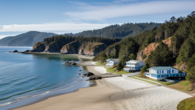
Winema, OR: Submarine Cable Landing Point
Winema is a coastal landing point located in Oregon, on the Pacific coast of the United States. It is the terminus for one transpacific submarine cable system, connecting the United States to a range of economies across Southeast Asia and the Pacific. Despite hosting a single cable, Winema's position on the Oregon coast places it within a corridor that spans some of the longest submarine cable routes in the world.
The cable landing here, Bifrost, forms a transpacific link joining the United States with Guam, Indonesia, Mexico, the Philippines, and Singapore. This configuration enables connectivity across both the North Pacific and the broader Indo-Pacific region, supporting intercontinental data exchange between North America and Southeast Asia by way of the central Pacific.
Cables Landing at Winema, OR
Bifrost is a submarine cable system with a total length of 19,888 km, with a ready-for-service date of 2025. In addition to Winema, OR, Bifrost lands in Guam, Indonesia, Mexico, the Philippines, Singapore, and at other points in the United States. The cable's route spans the Pacific Ocean, linking the west coast of North America with island territories and major Southeast Asian nations. Its length places it among the longer transpacific cable systems in service.
Regional Context
Within the United States, Winema, OR is a single-cable landing point, in contrast to more established hubs such as Boca Raton, FL and San Juan, PR, each of which hosts six submarine cables, or Kapolei, HI, which hosts five. Other Pacific-facing landing points in the country, including Morro Bay, CA with four cables, currently serve a greater number of systems. Winema's addition to the national cable map reflects the continued expansion of transpacific capacity along the US Pacific coastline, diversifying routes beyond more concentrated gateway locations.
Network Role
Winema, OR functions as a single-cable terminus, serving exclusively as the US continental endpoint for the Bifrost system. Through this connection, Winema participates in a transpacific corridor that reaches Singapore and Indonesia to the southwest, the Philippines and Guam in the central Pacific, and Mexico along the eastern Pacific rim. The cable's multi-country design means that Winema is integrated into a network segment serving some of the most heavily trafficked data exchange routes between North America and Southeast Asia.
As a newly activated landing point with a 2025 RFS date, Winema represents a relatively recent addition to the US submarine cable geography. In the broader regional submarine cable graph, its role is defined entirely by Bifrost's transpacific reach, contributing a distinct Oregon-based entry point to a national infrastructure landscape that has historically concentrated Pacific landings in California and Hawaii.
What next: Winema, OR, United States in the global directory of cable landing points; see surrounding routes on the interactive submarine cable map or follow live network monitoring.
Other Landing Points in United States
Landing Point
- CountryUS United States
- Coordinates45.1466°N 123.9734°W
- Connected Cables1
See Real Cable Routes
View actual submarine cable routing from Winema, OR, United States - with backbone nodes, distance calculations, and latency estimates
Open Calculator →