Puerto La Cruz, Venezuela
Landing Point · VE Venezuela
Connected Cables
| Cable | Status |
|---|---|
| Venezuelan Festoon | Active |
📡 Live Performance
RTT measurements to this landing point from 2026-04-21 through 2026-06-26 - live ICMP round-trip time via our monitoring probes. Recomputed daily. ✓ No anomalies detected in the monitored period.
Measurement sources
| Probe | Location | Samples | Avg |
|---|---|---|---|
| #6410 own probe | Sao Paulo BR | 3 | 147.4 ms |
| #6427 own probe | Sydney AU | 3 | 285.0 ms |
| #6487 own probe | Singapore SG | 3 | 248.9 ms |
| #1014473 own probe | Minsk BY | 3 | 161.5 ms |
| #1015523 own probe | Moscow RU | 2 | 178.2 ms |
| #1015563 own probe | Saint Petersburg RU | 2 | 160.9 ms |
| #1014589 own probe | Almaty KZ | 1 | 201.0 ms |
| #1014597 own probe | Tbilisi GE | 1 | 174.6 ms |
| #1014969 own probe | Jerusalem IL | 1 | 159.0 ms |
| #1015313 own probe | Sevastopol UA | 1 | 179.6 ms |
About Puerto La Cruz, Venezuela
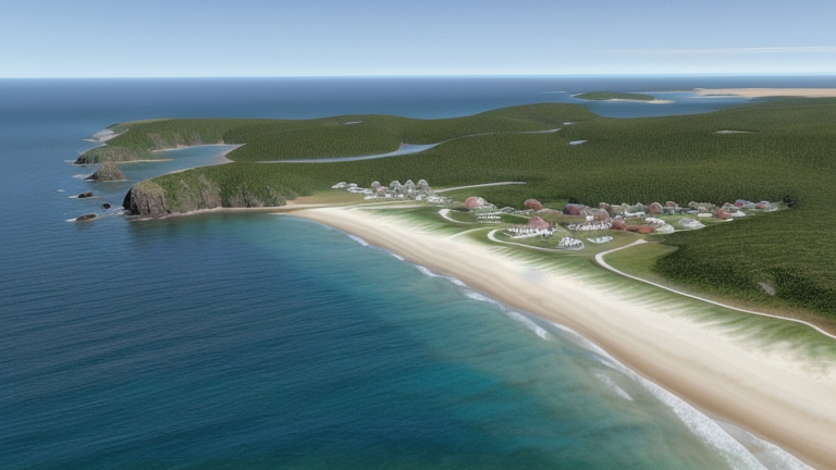
Puerto La Cruz, Venezuela: Submarine Cable Landing Point
Puerto La Cruz is a port city situated in Anzoátegui State on the northeastern coast of Venezuela. As a coastal city with established port infrastructure, it serves as one of fifteen submarine cable landing points across Venezuela. One submarine cable lands at Puerto La Cruz, connecting it to the domestic submarine cable network that runs along Venezuelan coastal waters.
The single cable landing here, the Venezuelan Festoon, links Puerto La Cruz to other points within Venezuela, forming part of a domestic coastal network rather than an intercontinental or international corridor. This intra-country connectivity places Puerto La Cruz within a broader Venezuelan submarine cable geography that spans multiple coastal communities along the country's Caribbean coastline.
Cables Landing at Puerto La Cruz
The Venezuelan Festoon is the sole submarine cable landing at Puerto La Cruz. Stretching approximately 1,200 kilometres, this cable reached ready-for-service status in 1998 and operates as a domestic system entirely within Venezuelan waters. All of its endpoints are located within Venezuela, making it a coastal festoon cable that interconnects various Venezuelan landing points along the coast. It represents the earliest phase of submarine cable deployment in Venezuela, with 1998 marking the arrival of the country's first submarine cable infrastructure.
Regional Context
Among Venezuela's fifteen submarine cable landing points, Puerto La Cruz shares its single-cable status with several other coastal communities, including Cabimas, Camuri, Carúpano, Chichiriviche, and Coro. Punto Fijo stands out within the national network as the landing point hosting two cables, placing it ahead of Puerto La Cruz by cable count. With one cable, Puerto La Cruz ranks within the top 93 percent of Venezuelan landing points by cable count, reflecting the distributed nature of the Venezuelan Festoon's domestic routing across many coastal communities.
Network Role
Puerto La Cruz functions as a single-cable terminus within the Venezuelan domestic submarine cable network. Its connection through the Venezuelan Festoon enables intra-national submarine connectivity along the Venezuelan coast, linking it to other communities served by the same 1,200-kilometre system. The cable does not extend to foreign territories, meaning Puerto La Cruz does not participate in international submarine cable corridors.
As one node among several Venezuelan landing points served exclusively by the Venezuelan Festoon, Puerto La Cruz contributes to the domestic coastal mesh that the system creates along Venezuela's Caribbean shoreline. Its presence as a landing point underlines how submarine cable networks in Venezuela have been designed to serve multiple coastal communities through a single extended domestic system rather than concentrating capacity at a single hub.
What next: Puerto La Cruz, Venezuela in the global directory of cable landing points; see surrounding routes on the interactive submarine cable map or follow live network monitoring.
Other Landing Points in Venezuela
Landing Point
- CountryVE Venezuela
- Coordinates10.2025°N 64.6449°W
- Connected Cables1
See Real Cable Routes
View actual submarine cable routing from Puerto La Cruz, Venezuela - with backbone nodes, distance calculations, and latency estimates
Open Calculator →