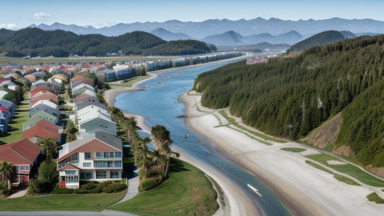
Pago Pago, American Samoa
Landing Point · AS American Samoa
Connected Cables
| Cable | Status |
|---|---|
| Hawaiki | Active |
| Le Vasa | Active |
| Samoa-American Samoa (SAS) | Active |
📡 Live Performance
RTT measurements to this landing point from 2026-06-22 through 2026-07-22 - live ICMP round-trip time via our monitoring probes. Recomputed daily. ✓ No anomalies detected in the monitored period.
Measurement sources
| Probe | Location | Samples | Avg |
|---|---|---|---|
| #6427 own probe | Sydney AU | 210 | 58.0 ms |
About Pago Pago, American Samoa
Pago Pago, American Samoa: Submarine Cable Landing Point
Pago Pago is the capital of American Samoa, situated on Tutuila, the territory's main island, in the central South Pacific Ocean. As a landing point for submarine cable infrastructure, Pago Pago connects American Samoa to a long-distance transpacific cable system that links the South Pacific region to major hubs in both the Asia-Pacific and the Americas. One submarine cable lands at Pago Pago, making it the sole submarine cable landing point in American Samoa.
The cable landing here, Hawaiki, is a transpacific system spanning 14,000 kilometres that became ready for service in 2018. Its reach across multiple nations — including Australia, New Zealand, Tonga, and the United States — places Pago Pago within an intercontinental corridor connecting Oceania to North America. This positions the landing point as part of a significant transpacific route rather than a purely regional or inter-island link.
Cables Landing at Pago Pago
Hawaiki is a submarine cable system with a total length of 14,000 kilometres that became ready for service in 2018. In addition to Pago Pago in American Samoa, Hawaiki lands in Australia, New Zealand, Tonga, and the United States. The cable spans the South Pacific and the broader transpacific corridor, connecting the islands of Polynesia and the South Pacific to two of the most cable-dense markets in the region — Australia and New Zealand — as well as to the continental United States.
Regional Context
American Samoa's submarine cable infrastructure is concentrated entirely at Pago Pago, which is the only landing point in the territory. With a single cable and a single landing point, the country's undersea connectivity profile is straightforward: all international submarine cable traffic for American Samoa passes through this one location on Tutuila island.
Network Role
Pago Pago functions as a single-cable terminus within the Hawaiki transpacific system. Rather than operating as a multi-cable hub, it serves as a branch or segment point on a cable that primarily connects Australia and New Zealand to the United States, with additional landings in Tonga and American Samoa providing Pacific island territories access to that long-distance route. This arrangement means that Pago Pago gains transpacific connectivity as part of a broader regional cable design rather than through dedicated bilateral links.
Within the South Pacific submarine cable graph, Pago Pago's connection to Hawaiki places American Samoa on the same system as two of the region's largest economies — Australia and New Zealand — as well as the United States, giving the territory a direct path to intercontinental cable capacity that it would otherwise lack entirely.
What next: Pago Pago, American Samoa in the global directory of cable landing points; see surrounding routes on the interactive submarine cable map or follow live network monitoring.
Other Landing Points in American Samoa
Landing Point
- CountryAS American Samoa
- Coordinates14.2765°S 170.6957°W
- Connected Cables3
See Real Cable Routes
View actual submarine cable routing from Pago Pago, American Samoa - with backbone nodes, distance calculations, and latency estimates
Open Calculator →