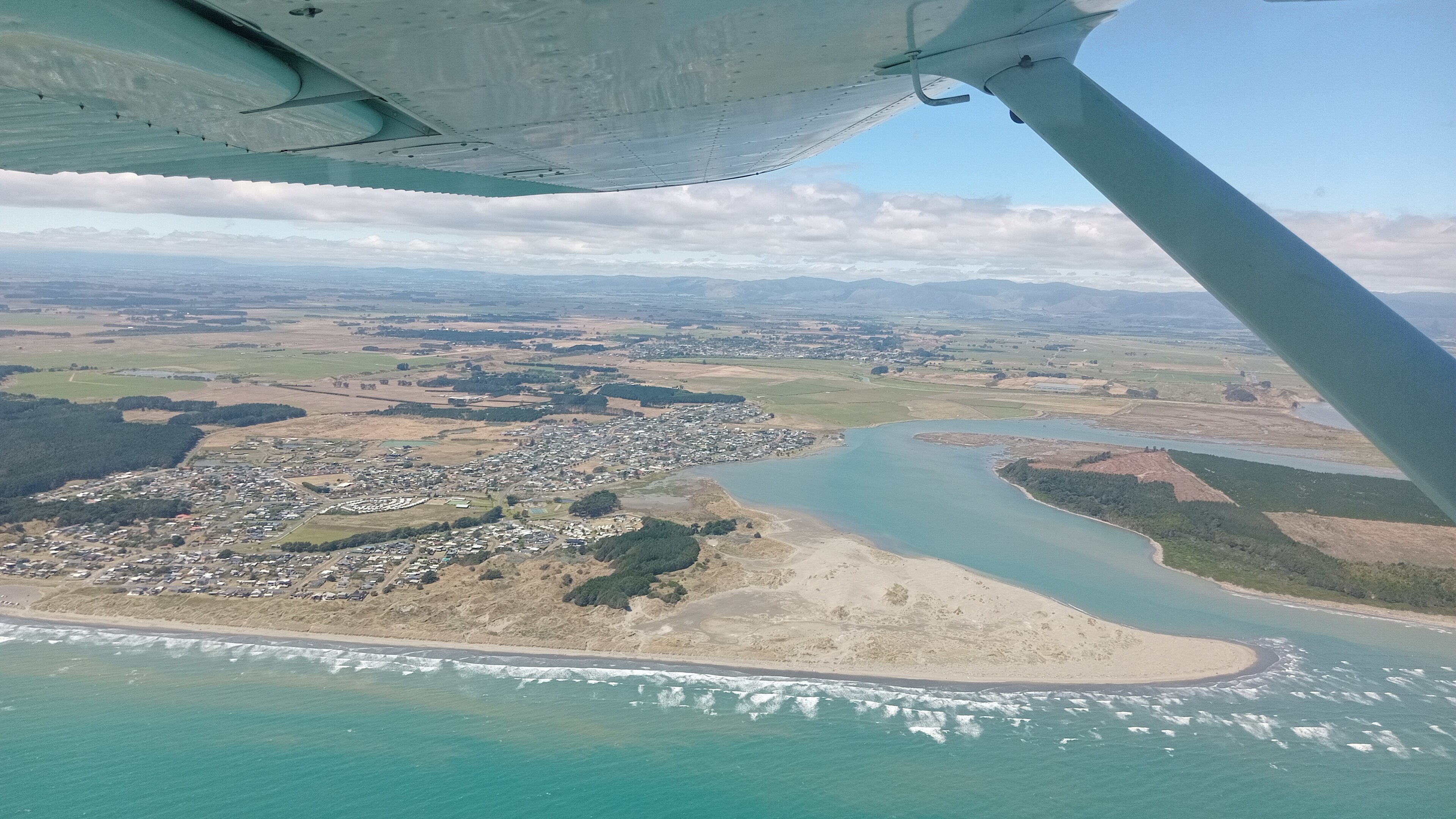
Mangawhai, New Zealand
Landing Point · NZ New Zealand
Connected Cables
| Cable | Status |
|---|---|
| Hawaiki | Active |
📡 Live Performance
RTT measurements to this landing point from 2026-03-02 through 2026-07-20 - live ICMP round-trip time via our monitoring probes. Recomputed daily. ✓ No anomalies detected in the monitored period.
Measurement sources
| Probe | Location | Samples | Avg |
|---|---|---|---|
| #1014473 own probe | Minsk BY | 11 | 315.6 ms |
| #1014589 own probe | Almaty KZ | 10 | 369.1 ms |
| #1014597 own probe | Tbilisi GE | 10 | 338.9 ms |
| #6427 own probe | Sydney AU | 2 | 39.4 ms |
| #6487 own probe | Singapore SG | 2 | 131.3 ms |
| #1014969 own probe | Jerusalem IL | 2 | 339.4 ms |
| #1015932 own probe | Odessa UA | 2 | 319.4 ms |
| #7062 own probe | Cape Town ZA | 1 | 380.1 ms |
| #1015313 own probe | Sevastopol UA | 1 | 346.0 ms |
About Mangawhai, New Zealand
Mangawhai, New Zealand: Submarine Cable Landing Point
Mangawhai is a township in Northland, New Zealand, situated at the south-west extent of the Mangawhai Harbour on the country's North Island. Despite its modest scale as a coastal settlement, Mangawhai serves as a submarine cable landing point, connecting New Zealand to one of the major transpacific cable systems in the region. One submarine cable lands here, linking New Zealand directly into a corridor that spans the Pacific Ocean and reaches the shores of the United States.
The cable landing at Mangawhai is the Hawaiki cable system, a transpacific route that connects New Zealand with Australia, American Samoa, Tonga, and the United States. The Hawaiki system gives Mangawhai a role in one of the longest submarine cable routes touching New Zealand soil, stretching approximately 14,000 kilometres across the Pacific. This positions Mangawhai as part of an intercontinental corridor linking Oceania with North America.
Cables Landing at Mangawhai
The Hawaiki cable system, which reached ready-for-service status in 2018, is 14,000 kilometres in length and connects Mangawhai to a set of countries spread across the Pacific. Beyond New Zealand, the Hawaiki cable lands in Australia, American Samoa, Tonga, and the United States. This makes it one of the principal transpacific routes in the southern and central Pacific, enabling direct connectivity between Australasia and North America, with stops at island territories in between.
Regional Context
Within New Zealand's submarine cable infrastructure — which encompasses 10 cables across 20 landing points — Mangawhai hosts a single cable, placing it alongside Christchurch as a single-cable landing point. By comparison, Auckland leads domestically with three cables, while New Plymouth, Raglan, Takapuna, and Whenuapai each host two. Mangawhai ranks within the top 75 percent of New Zealand landing points by cable count, reflecting its participation in a significant international system despite its smaller scale relative to major urban landing hubs.
Network Role
Mangawhai functions as a single-cable terminus, anchoring the New Zealand end of the Hawaiki transpacific system. Through this connection, the township participates in a route that spans from Australasia across the central Pacific to the United States, with onward links touching American Samoa and Tonga. The Hawaiki cable's 14,000-kilometre reach means that Mangawhai, though geographically removed from New Zealand's main urban centres, serves as a distinct geographic entry point for transpacific traffic into the country.
In the broader Pacific submarine cable graph, having a dedicated landing point at Mangawhai — separate from the cluster of cables at Auckland — distributes New Zealand's international cable infrastructure along the Northland coastline. This geographic spread across multiple landing points is a characteristic feature of how submarine cable networks serve large island nations, ensuring that international connectivity is not concentrated exclusively at a single coastal location.
What next: Mangawhai, New Zealand in the global directory of cable landing points; see surrounding routes on the interactive submarine cable map or follow live network monitoring.
Other Landing Points in New Zealand
Landing Point
- CountryNZ New Zealand
- Coordinates36.1262°S 174.5745°E
- Connected Cables1
See Real Cable Routes
View actual submarine cable routing from Mangawhai, New Zealand - with backbone nodes, distance calculations, and latency estimates
Open Calculator →