Lake Ci, Taiwan
Landing Point · TW Taiwan
1
Connected Cables
TW
Country
24.46°
Latitude
118.29°
Longitude
Ctrl + Scroll to zoom
Connected Cables
| Cable | Status |
|---|---|
| Cross-Straits Cable Network (CSCN) | Active |
Live Performance
118
measurements
15
probes
138
days monitored
214.6
ms avg RTT
0
anomalies
RTT measurements to this landing point from 2026-04-16 through 2026-09-02 - live ICMP round-trip time via our monitoring probes. Recomputed daily. ✓ No anomalies detected in the monitored period.
Measurement sources
| Probe | Location | Samples | Avg |
|---|---|---|---|
| #1014589 own probe | Almaty KZ | 27 | 288.4 ms |
| #6410 own probe | Sao Paulo BR | 25 | 308.2 ms |
| #6487 own probe | Singapore SG | 24 | 59.1 ms |
| #1014597 own probe | Tbilisi GE | 11 | 336.1 ms |
| #7062 own probe | Cape Town ZA | 7 | 303.0 ms |
| #1007763 | control probe | 4 | 14.3 ms |
| #7524 | control probe | 3 | 11.1 ms |
| #61553 | control probe | 3 | 45.8 ms |
| #1014473 own probe | Minsk BY | 3 | 210.7 ms |
| #1014969 own probe | Jerusalem IL | 3 | 77.9 ms |
| #1015523 own probe | Moscow RU | 3 | 244.2 ms |
| #7783 | control probe | 2 | 15.7 ms |
| #1015313 own probe | Sevastopol UA | 1 | 225.2 ms |
| #1015893 own probe | Rostov RU | 1 | 225.7 ms |
| #1015984 own probe | Balancer IL | 1 | 292.0 ms |
About Lake Ci, Taiwan
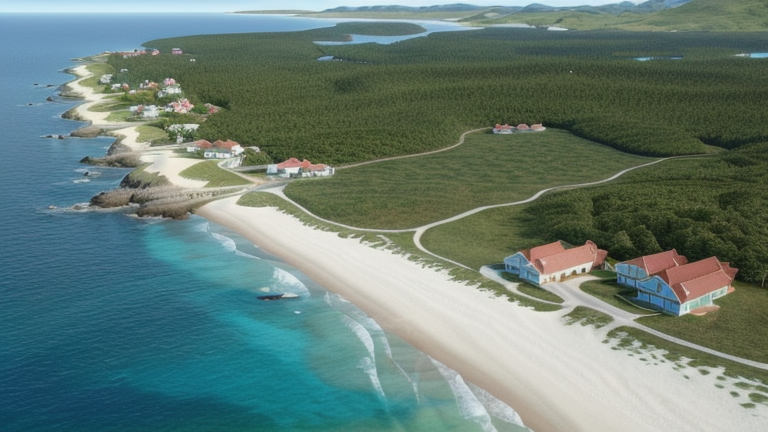
Lake Ci, Taiwan: A Quiet Link Across the Strait
Lake Ci, Taiwan, is home to a single submarine cable, the Cross-Straits Cable Network (CSCN), which spans just 21 kilometers to connect Taiwan with China. While many of Taiwan's landing points host multiple cables-Toucheng has nine, Tanshui eight-Lake Ci stands apart as a smaller, quieter hub in Taiwan's submarine cable landscape. Its role is specific and focused: facilitating direct connectivity between Taiwan and China, a connection that carries both technical and geopolitical significance.The Cross-Straits Connection
The CSCN, operational since 2012, links Lake Ci with three other landing points: Dadeng Island, Guanyin Mountain, and Guningtou. This cable is unique in its brevity-21 kilometers is far shorter than the average submarine cable length landing in Taiwan, which is over 7,200 kilometers. Its purpose is not to span oceans or continents but to provide a direct, high-speed link between two neighboring regions. This specialized role makes Lake Ci distinct from Taiwan's larger landing points, which often serve as gateways to global networks.Regional Context: A Modest Player
Taiwan is a highly connected island, with 21 submarine cables landing at 21 points along its coastline. Major hubs like Toucheng and Tanshui host multiple cables, acting as critical nodes for international and domestic traffic. In contrast, Lake Ci, with just one cable, ranks in the top 62% of landing points in Taiwan by cable count. This modest presence reflects its specialized role rather than a lack of importance. While Lake Ci may not handle the same volume of traffic as larger hubs, its connection to the CSCN ensures it plays a key role in linking Taiwan with its closest neighbor.Latency Insights: A Reliable Performer
GeoCables' own latency measurements reveal that Lake Ci performs consistently well. Across 42 completed checks from 12 source cities, the average round-trip latency to this landing point is 225 milliseconds, with the best observed latency an impressive 11 milliseconds. This low latency underscores the efficiency of the CSCN in handling cross-strait communications, ensuring that data moves quickly and reliably between Taiwan and China.Lake Ci's Role in Taiwan's Network
While Lake Ci may not be a bustling hub of international connectivity, its single cable serves a clear purpose: maintaining direct communication with China. This connection complements Taiwan's broader network of 21 landing points, which collectively link the island to the world. Lake Ci's quiet presence in this network is a reminder that even smaller landing points play a meaningful role in the intricate web of global connectivity.What next: Lake Ci, Taiwan in the global directory of cable landing points; see surrounding routes on the interactive submarine cable map or follow live network monitoring.
Other Landing Points in Taiwan
TW Beigan, Taiwan
26.2254°N 119.9886°E
TW Budai, Taiwan
23.3628°N 120.1705°E
TW Dawu, Taiwan
22.3405°N 120.8898°E
TW Dongyin, Taiwan
26.3673°N 120.4930°E
TW Fangshan, Taiwan
22.2493°N 120.6621°E
TW Guningtou, Taiwan
24.4761°N 118.3071°E
TW Huxi Township, Taiwan
23.5736°N 119.6562°E
TW Jincheng Township, Taiwan
24.4134°N 118.3158°E
TW Jinhu Township, Taiwan
24.4375°N 118.4394°E
TW Magong, Taiwan
23.5716°N 119.5745°E
TW Nangan, Taiwan
26.1552°N 119.9344°E
TW Pa Li, Taiwan
25.1500°N 121.3832°E
Landing Point
- CountryTW Taiwan
- Coordinates24.4555°N 118.2897°E
- Connected Cables1
See Real Cable Routes
View actual submarine cable routing from Lake Ci, Taiwan - with backbone nodes, distance calculations, and latency estimates
Open Calculator →
Submarine cables
🛤 Land fiber
Live probes