Kohala, HI, United States
Landing Point · US United States
1
Connected Cables
US
Country
20.24°
Latitude
155.83°
Longitude
Ctrl + Scroll to zoom
Connected Cables
| Cable | Status |
|---|---|
| Kunoa North | Planned |
Live Performance
19
measurements
9
probes
57
days monitored
202.6
ms avg RTT
0
anomalies
RTT measurements to this landing point from 2026-06-29 through 2026-08-26 - live ICMP round-trip time via our monitoring probes. Recomputed daily. ✓ No anomalies detected in the monitored period.
Measurement sources
| Probe | Location | Samples | Avg |
|---|---|---|---|
| #6427 own probe | Sydney AU | 3 | 186.0 ms |
| #6487 own probe | Singapore SG | 3 | 231.9 ms |
| #7062 own probe | Cape Town ZA | 3 | 277.3 ms |
| #1014969 own probe | Jerusalem IL | 3 | 193.1 ms |
| #1014589 own probe | Almaty KZ | 2 | 242.6 ms |
| #1015563 own probe | Saint Petersburg RU | 2 | 184.4 ms |
| #19053 | control probe | 1 | 98.0 ms |
| #61465 | control probe | 1 | 131.9 ms |
| #1010262 | control probe | 1 | 99.8 ms |
About Kohala, HI, United States
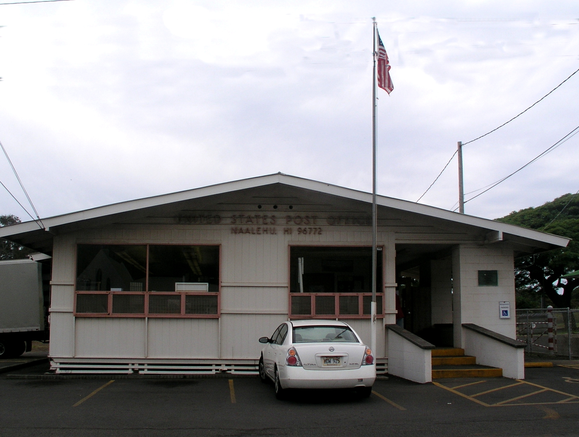
Kohala, HI: A Quiet Link in Hawaii's Connectivity Chain
Kohala, located on the northern tip of Hawaii's Big Island, is home to a single submarine cable landing point. While it may seem modest compared to major hubs like Boca Raton, FL, or Kapolei, HI, Kohala plays a distinct role in Hawaii's regional connectivity. The cable landing here - Kunoa North - is part of a domestic chain that stitches together six Hawaiian locations, ensuring seamless communication across the islands.The Kunoa North Cable: Connecting Hawaii's Islands
The Kunoa North cable is exclusively domestic, linking Kohala to five other landing points in Hawaii: Hana, Kailua, Kilauea, Waialua, and Wailuku. This interconnected chain is designed to support local and regional communication rather than international traffic. Kohala's placement within this network ensures that the northern Big Island remains connected to the rest of Hawaii's infrastructure. Unlike larger landing points such as Kapolei, which hosts five cables and connects internationally, Kohala's focus is entirely on regional connectivity. This makes it an essential node for maintaining reliable communication across the islands, especially for local businesses and residents.Latency Insights: Kohala's Performance
GeoCables' monitoring of Kohala reveals an average round-trip latency of 225 milliseconds, with the best observed latency at 144 milliseconds. These numbers reflect the cable's efficiency in serving Hawaii's domestic network. While not as fast as international cables linking the mainland United States to global destinations, the latency is more than sufficient for local needs, including internet browsing, cloud services, and intra-island communication.Regional Context: Kohala's Unique Role
Kohala stands apart from other U.S. landing points in several ways. With only one cable, it contrasts sharply with hubs like Boca Raton, FL, and San Juan, PR, which each host eight cables and serve as major gateways for international traffic. Even within Hawaii, Kohala is smaller in scale compared to Kapolei, which connects to five cables and handles both domestic and international links. However, Kohala's single-cable setup is well-suited to its purpose. The Kunoa North cable ensures that the Big Island remains integrated into Hawaii's broader communications network. This regional focus highlights Kohala's importance in maintaining connectivity across the islands, even if it doesn't compete with larger landing points in terms of scale or international reach.Conclusion
Kohala, HI, may not be a bustling hub of submarine cable activity, but its role in Hawaii's domestic connectivity chain is undeniable. The Kunoa North cable ensures that the northern Big Island remains linked to the rest of the state, supporting local communication and business needs. In the grand tapestry of U.S. submarine cable infrastructure, Kohala is a quiet but reliable thread, connecting Hawaii's islands with efficiency and purpose.What next: Kohala, HI, United States in the global directory of cable landing points; see surrounding routes on the interactive submarine cable map or follow live network monitoring.
Other Landing Points in United States
US Akutan, AK, United States
54.1356°N 165.7731°W
US Alakanuk, AK, United States
62.6847°N 164.6455°W
US Anchorage, AK, United States
61.2175°N 149.8584°W
US Angoon, AK, United States
57.5018°N 134.5823°W
US Bandon, OR, United States
43.1186°N 124.4082°W
US Barber’s Point, HI, United States
21.3138°N 158.0943°W
US Beaver Island, MI, United States
45.7409°N 85.5353°W
US Bellport, NY, United States
40.7555°N 72.9378°W
US Benton Harbor, MI, United States
42.1162°N 86.4545°W
US Boca Raton, FL, United States
26.3503°N 80.0889°W
US Brookhaven, NY, United States
40.7731°N 72.9123°W
US Buffalo, NY, United States
42.8854°N 78.8785°W
Landing Point
- CountryUS United States
- Coordinates20.2409°N 155.8327°W
- Connected Cables1
See Real Cable Routes
View actual submarine cable routing from Kohala, HI, United States - with backbone nodes, distance calculations, and latency estimates
Open Calculator →
Submarine cables
🛤 Land fiber
Live probes