Kahe Point, HI, United States
Landing Point · US United States
Connected Cables
| Cable | Status |
|---|---|
| Southern Cross Cable Network (SCCN) | Active |
Live Performance
RTT measurements to this landing point from 2026-04-22 through 2026-08-10 - live ICMP round-trip time via our monitoring probes. Recomputed daily. ✓ No anomalies detected in the monitored period.
Measurement sources
| Probe | Location | Samples | Avg |
|---|---|---|---|
| #1014589 own probe | Almaty KZ | 4 | 213.4 ms |
| #1014969 own probe | Jerusalem IL | 4 | 161.4 ms |
| #6427 own probe | Sydney AU | 3 | 215.4 ms |
| #6487 own probe | Singapore SG | 3 | 231.3 ms |
| #7062 own probe | Cape Town ZA | 3 | 257.8 ms |
| #14720 | control probe | 1 | 89.6 ms |
| #1010871 | control probe | 1 | 94.8 ms |
| #1014473 own probe | Minsk BY | 1 | 137.6 ms |
| #1014597 own probe | Tbilisi GE | 1 | 163.3 ms |
| #1015313 own probe | Sevastopol UA | 1 | 165.8 ms |
| #1015523 own probe | Moscow RU | 1 | 132.2 ms |
| #1016563 | control probe | 1 | 110.3 ms |
About Kahe Point, HI, United States
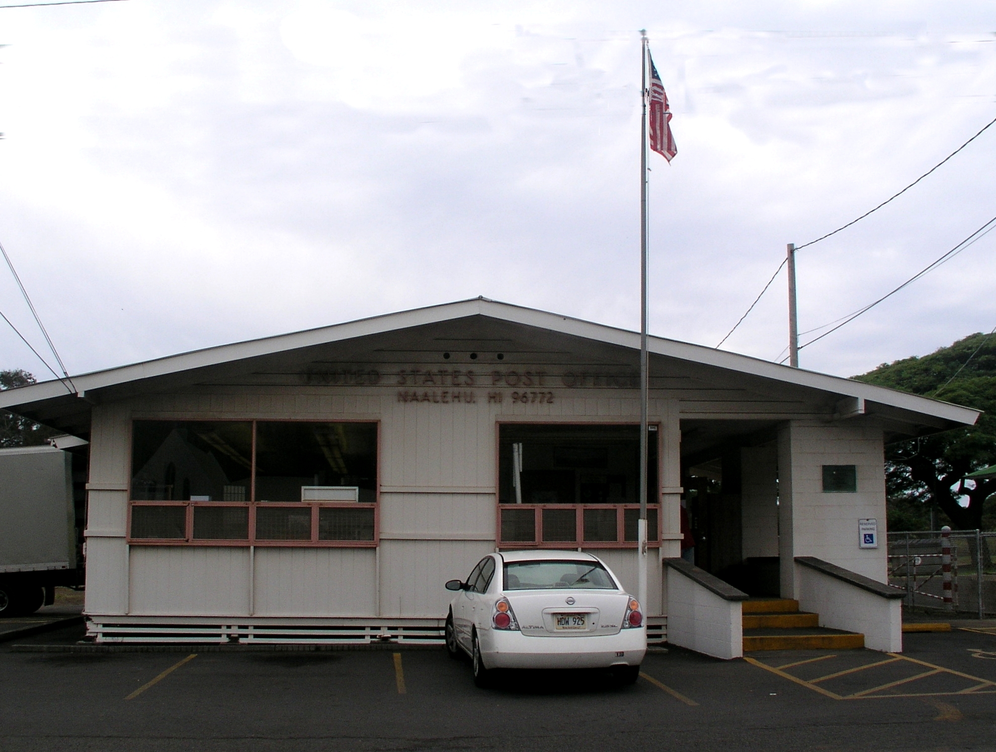
Kahe Point, HI: Submarine Cable Landing Point
Kahe Point is a submarine cable landing point located on the island of Oahu, Hawaii, United States. Positioned in the central Pacific Ocean, Hawaii serves as a natural geographic waypoint between the continental United States and the southwestern Pacific, and Kahe Point reflects that role through its connection to transoceanic cable infrastructure. One submarine cable lands at Kahe Point, linking the Hawaiian Islands to a broader network of Pacific nations.
That cable is the Southern Cross Cable Network, a major transpacific system connecting the United States, Australia, New Zealand, and Fiji. Through this connection, Kahe Point participates in a corridor that spans the southwestern and central Pacific, enabling communications between North America and Oceania. The Southern Cross Cable Network is one of the foundational transpacific cable systems of the modern era, and Kahe Point represents one of its American terminations.
Cables Landing at Kahe Point, HI
The Southern Cross Cable Network (SCCN) is a submarine cable system stretching approximately 30,500 kilometers, with a ready-for-service date of 2000. The system connects the United States, Australia, New Zealand, and Fiji, forming a loop-style architecture across the southwestern Pacific. In addition to Kahe Point in Hawaii, the cable lands at other points within the United States, making Hawaii one of multiple American terminations on the system. The Southern Cross Cable Network was among the earliest large-scale transpacific cable systems to enter service and established a key route between North America and the Oceanian region.
Regional Context
Within the United States, Kahe Point is one of several Hawaiian landing points, alongside Kapolei and Kawaihae, each of which hosts a greater number of cables. Compared to high-density landing points on the US mainland and in Puerto Rico — such as Boca Raton, San Juan, Morro Bay, and Isla Verde — Kahe Point hosts a single cable, placing it among the more specialized terminations in the national submarine cable network. Its significance is tied specifically to the transpacific corridor rather than to the volume of cable systems present.
Network Role
Kahe Point functions as a single-cable terminus, serving exclusively as a landing point for the Southern Cross Cable Network. In this role, it connects the Hawaiian Islands to the transpacific route linking the United States with Australia, New Zealand, and Fiji — a corridor that spans some of the most geographically remote ocean territory on earth. The landing point does not operate as a multi-cable hub, but rather as a dedicated endpoint for one of the Pacific's longest-established cable systems.
Within the regional submarine cable graph, Kahe Point's value lies in its position as an American anchor for a southwestern Pacific cable loop, ensuring that Hawaii maintains a direct cable link to Oceania through the Southern Cross network.
What next: Kahe Point, HI, United States in the global directory of cable landing points; see surrounding routes on the interactive submarine cable map or follow live network monitoring.
Other Landing Points in United States
Landing Point
- CountryUS United States
- Coordinates21.3540°N 158.1306°W
- Connected Cables1
See Real Cable Routes
View actual submarine cable routing from Kahe Point, HI, United States - with backbone nodes, distance calculations, and latency estimates
Open Calculator →