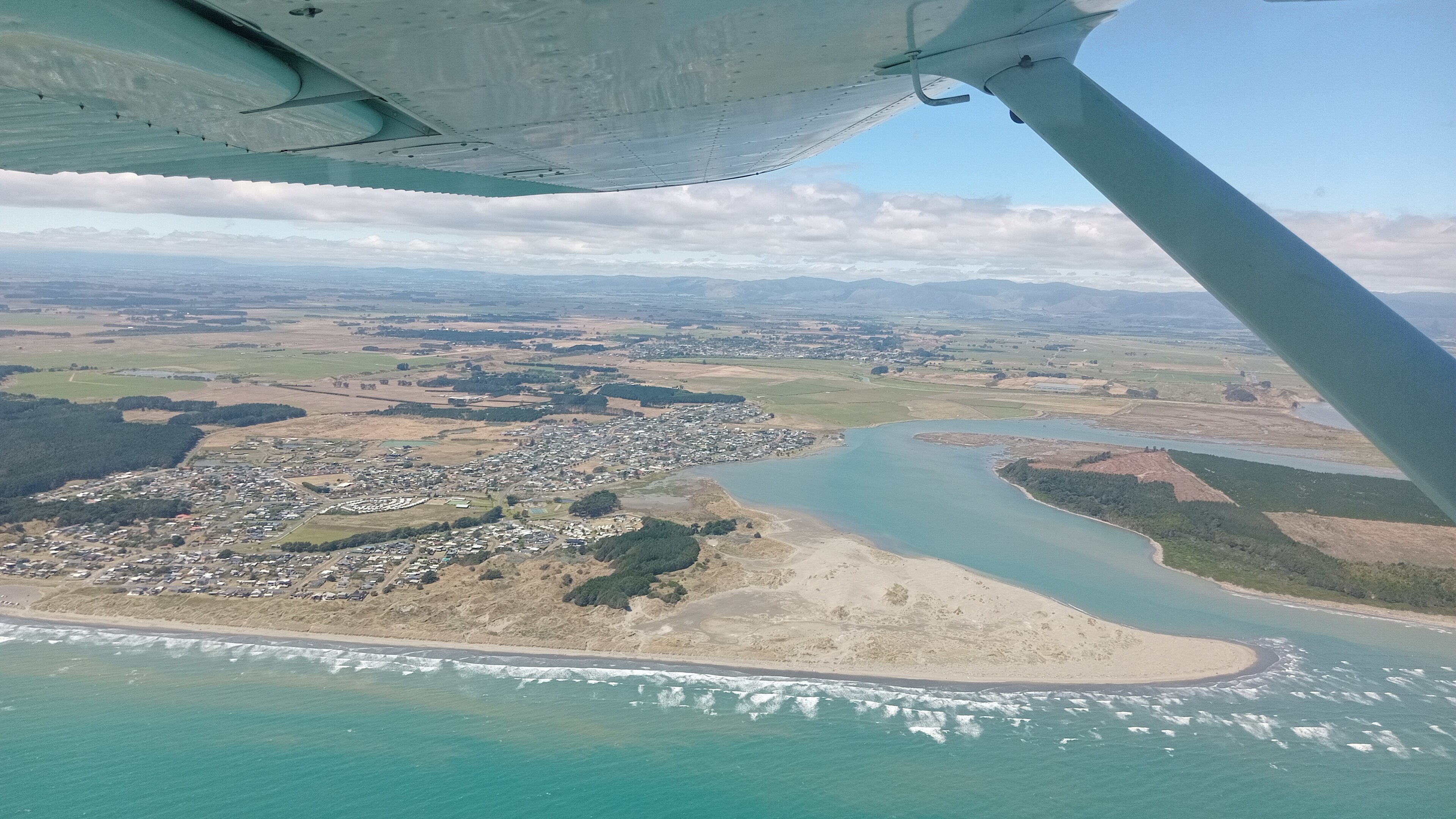
Titahi Bay, New Zealand
Landing Point · NZ New Zealand
Connected Cables
| Cable | Status |
|---|---|
| Aqualink | Active |
📡 Live Performance
RTT measurements to this landing point from 2026-04-03 through 2026-07-12 - live ICMP round-trip time via our monitoring probes. Recomputed daily. ✓ No anomalies detected in the monitored period.
Measurement sources
| Probe | Location | Samples | Avg |
|---|---|---|---|
| #1014473 own probe | Minsk BY | 2 | 325.2 ms |
| #6410 own probe | Sao Paulo BR | 1 | 327.1 ms |
| #6427 own probe | Sydney AU | 1 | 33.3 ms |
| #6487 own probe | Singapore SG | 1 | 128.1 ms |
| #7062 own probe | Cape Town ZA | 1 | 435.6 ms |
| #1014589 own probe | Almaty KZ | 1 | 374.0 ms |
| #1014597 own probe | Tbilisi GE | 1 | 362.0 ms |
| #1014969 own probe | Jerusalem IL | 1 | 340.4 ms |
| #1015932 own probe | Odessa UA | 1 | 323.6 ms |
About Titahi Bay, New Zealand
How the Internet Reaches Titahi Bay
Titahi Bay is a coastal suburb of Porirua, sitting on the west coast of the lower North Island of New Zealand, within the metropolitan Wellington area. Its position on the Porirua Harbour coastline makes it a practical landing point for submarine cable infrastructure serving the wider Wellington region. International and domestic internet traffic reaching Titahi Bay arrives via a single submarine cable that connects it to several other points along the New Zealand coastline.
Unlike major international cable hubs, Titahi Bay's cable — Aqualink — is a domestic network, linking points within New Zealand rather than reaching overseas. All internet traffic flowing through this landing point travels along the New Zealand coastline to and from other domestic termini, rather than crossing an ocean to a foreign country.
The Cable Serving Titahi Bay
The Aqualink cable, which entered service in 2001, is the sole submarine cable landing at Titahi Bay. It is a domestic New Zealand cable, connecting Titahi Bay to Auckland, Christchurch, Kaikoura, New Plymouth, and Oara — all located within New Zealand. Rather than providing international connectivity directly, Aqualink forms a coastal ring linking key population centres along both the North and South Islands, allowing traffic to move between these points via undersea routes.
Regional Context
New Zealand's submarine cable network comprises 7 cables across 16 landing points, with an average cable length of 5,611 km and the first cable in service since 2000. Titahi Bay is one of the smaller terminuses in this national picture, served by a single cable. By comparison, Auckland and Takapuna each host 2 cables, as does Whenuapai, making the upper North Island the more densely connected part of the country. Christchurch and Kaikoura, like Titahi Bay, are each served by a single cable — and notably, both are also landing points on the same Aqualink system.
What This Means for Connectivity
Because Titahi Bay is served by only one submarine cable, all submarine-carried traffic passing through this landing point flows exclusively over Aqualink. An outage affecting that cable would sever the undersea link between Titahi Bay and the other domestic landing points it connects to — Auckland, Christchurch, Kaikoura, New Plymouth, and Oara. There is no redundant submarine cable path at this location.
The Aqualink cable provides inter-island and inter-city domestic connectivity along New Zealand's coastline rather than direct international routing. International traffic would reach Titahi Bay indirectly, travelling first through a hub such as Auckland where internationally connected cables land. Understanding Titahi Bay's role in this domestic coastal network illustrates how New Zealand's submarine infrastructure functions not just as a gateway to the wider world, but as a series of interconnected coastal links within the country itself.
What next: Titahi Bay, New Zealand in the global directory of cable landing points; see surrounding routes on the interactive submarine cable map or follow live network monitoring.
Other Landing Points in New Zealand
Landing Point
- CountryNZ New Zealand
- Coordinates41.1058°S 174.8380°E
- Connected Cables1
See Real Cable Routes
View actual submarine cable routing from Titahi Bay, New Zealand - with backbone nodes, distance calculations, and latency estimates
Open Calculator →